La République du Sénégal est un pays d'Afrique de l'Ouest. Il est bordé par l'océan Atlantique à l'ouest, la Mauritanie au nord et l'est, le Mali à l'est et la Guinée et la Guinée-Bissau au sud. La Gambie forme une quasi-enclave dans le Sénégal, pénétrant à plus de 300 km à l'intérieur des terres (et séparant du reste du pays la région naturelle de Casamance). Les îles du Cap-Vert sont situées à 560 km de la côte sénégalaise. Son climat est tropical et sec avec deux saisons : la saison sèche et la saison des pluies. Le pays doit son nom au fleuve qui le borde a l'est et au nord et qui prend sa source dans le Fouta Djallon en Guinée.
The Republic of Senegal is a country south of the Sénégal River in western Africa. Senegal is bounded by the Atlantic Ocean to the west, ► Mauritania to the north, ► Mali to the east, and ► Guinea and ► Guinea-Bissau to the south. ► The Gambia lies almost entirely within Senegal, surrounded on the north, east and south; from its western coast, The Gambia's territory follows the Gambia River more than 300 km inland. The ► Cape Verde islands lie some 560 km (348 miles) off the Senegalese coast.
This section holds a short summary of the history of the area of present-day Senegal, illustrated with maps, including historical maps of former countries and empires that included present-day Senegal.
The WIKIMEDIA COMMONS Atlas of the World is an organized and commented collection of geographical, political and historical maps available at Wikimedia Commons. The main page is therefore the portal to maps and cartography on Wikimedia. That page contains links to entries by country, continent and by topic as well as general notes and references.
Every entry has an introduction section in English. If other languages are native and/or official in an entity, introductions in other languages are added in separate sections. The text of the introduction(s) is based on the content of the Wikipedia encyclopedia. For sources of the introduction see therefore the Wikipedia entries linked to. The same goes for the texts in the history sections.
Historical maps are included in the continent, country and dependency entries.
The status of various entities is disputed. See the content for the entities concerned.
The maps of former countries that are more or less continued by a present-day country or had a territory included in only one or two countries are included in the atlas of the present-day country. For example the Ottoman Empire can be found in the Atlas of Turkey.


 departements of Dakar region
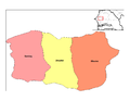 departments of Diourbel region
 departments of Fatick region
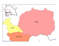 departments of Kaolack region
 departments of Kolda region
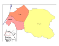 departments of Louga region
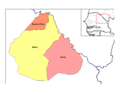 departments of Matam region
 departments of Saint-Louis region
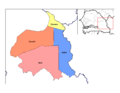
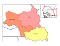 departments of Tambacounda region
 departments of Thiès region
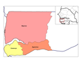 departments of Ziguinchor region


 Arrondissements of Bakel
 Arrondissements of Bambey
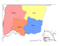 Arrondissements of Bignona
 Arrondissement of Dagana
 Communes d'arrondissement of Dakar
 Arrondissements of Diourbel
 Arrondissements of Fatick
 Arrondissements of Foundiougne
 Arrondissements of Gossas
 Arrondissement of Guédiawaye
 Arrondissements of Kaffrine
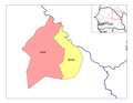 Arrondissements of Kanel
 Arrondissements of Kaolack
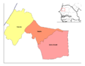 Arrondissements of Kébémer
 Arrondissements of Kédougou
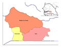 Arrondissements of Kolda
 Arrondissements of Linguère
 Arrondissements of Louga
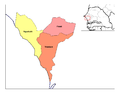 Arrondissements of M'bour
 Arrondissement of Matam
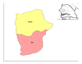 Arrondissements of Mbacké
 Arrondissements of Nioro du Rip
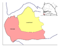 Arrondissements of Oussouye
 Arrondissement of Pikine
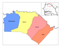 Arrondissements of Podor
 Arrondissement of Ranérou F
 Arrondissement of Rufisque
 Arrondissement of Saint-Louis
 Arrondissements of Sédhiou
 Arrondissements of Tambacounda
 Arrondissements of Thiès
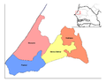 Arrondissements of Tivaouane
 Arrondissements of Vélingara
 Arrondissements of Ziguinchor


Recent Comments