
How Can We Help?

Size of this preview: 800 × 600 pixels. Other resolutions: 320 × 240 pixels | 640 × 480 pixels | 1,024 × 768 pixels | 1,280 × 960 pixels | 2,560 × 1,920 pixels | 3,648 × 2,736 pixels.
Original file (3,648 × 2,736 pixels, file size: 4.24 MB, MIME type: image/jpeg)
Summary
| Description |
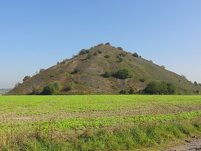
Français : Terril n° 10 dit 3 de Bruay Ouest, Fosse n° 3 - 3 bis - 3 ter de la Compagnie des mines de Bruay, Bruay-la-Buissière, Pas-de-Calais, Nord-Pas-de-Calais, France. |
|||||||||||||||||||||||
| Date | ||||||||||||||||||||||||
| Source | Own work | |||||||||||||||||||||||
| Author |
|
|||||||||||||||||||||||
.JPG)
Jérémy-Günther-Heinz Jähnick, Bruay-la-Buissière - Terril n° 10, 3 de Bruay Ouest (03), licence JÄHNICK 1.0, Wikimedia Commons |

| Camera location | | View this and other nearby images on: OpenStreetMap |
|---|
File history
Click on a date/time to view the file as it appeared at that time.
| Date/Time | Thumbnail | Dimensions | User | Comment | |
|---|---|---|---|---|---|
| current | 09:49, 5 October 2011 | | 3,648 × 2,736 (4.24 MB) | Jérémy-Günther-Heinz Jähnick |
File usage
The following pages on the English Wikipedia use this file (pages on other projects are not listed):
Global file usage
The following other wikis use this file:
- Usage on ca.wikipedia.org
- Usage on fr.wikipedia.org
- Terril
- Charleroi
- Portail:Bassin minier du Nord-Pas-de-Calais/Image sélectionnée
- Liste des terrils du bassin minier du Nord-Pas-de-Calais
- Portail:Bassin minier du Nord-Pas-de-Calais/Image sélectionnée/110
- Fosse no 3 - 3 bis - 3 ter des mines de Bruay
- Portail:Bassin minier du Nord-Pas-de-Calais/Unesco
- Liste des biens du bassin minier du Nord-Pas-de-Calais inscrits sur la liste du patrimoine mondial
- Portail:Bassin minier du Nord-Pas-de-Calais/Unesco/93
- Usage on ro.wikipedia.org

.JPG)
.JPG¶ms=050.485380_N_0002.515165_E_globe:Earth_type:camera_heading:86.75&language=en)
Recent Comments