![File:TDF 2015, étape 13, Montgiscard (3028) (cropped).jpg](https://upload.wikimedia.org/wikipedia/commons/thumb/1/16/TDF_2015%2C_%C3%A9tape_13%2C_Montgiscard_%283028%29_%28cropped%29.jpg/404px-TDF_2015%2C_%C3%A9tape_13%2C_Montgiscard_%283028%29_%28cropped%29.jpg)
Original file (1,514 × 2,246 pixels, file size: 1.95 MB, MIME type: image/jpeg)
Summary
DescriptionTDF 2015, étape 13, Montgiscard (3028) (cropped).jpg |
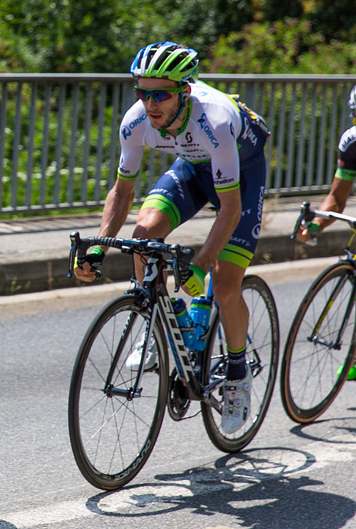
Français : Serge Pauwels (MTN) pendant la 13e étape. English: Serge Pauwels (MTN) during stage 13. |
|
Date | ||
Source | Own work | |
Author | Gyrostat | |
Permission (Reusing this file) |
|
Camera location | 43° 27′ 51.66″ N, 1° 34′ 10.27″ E ![]() ![]() | View this and other nearby images on: OpenStreetMap | ![]() |
---|
Licensing
![w:en:Creative Commons](https://upload.wikimedia.org/wikipedia/commons/thumb/7/79/CC_some_rights_reserved.svg/90px-CC_some_rights_reserved.svg.png)
![attribution](https://upload.wikimedia.org/wikipedia/commons/thumb/1/11/Cc-by_new_white.svg/24px-Cc-by_new_white.svg.png)
![share alike](https://upload.wikimedia.org/wikipedia/commons/thumb/d/df/Cc-sa_white.svg/24px-Cc-sa_white.svg.png)
- You are free:
- to share – to copy, distribute and transmit the work
- to remix – to adapt the work
- Under the following conditions:
- attribution – You must give appropriate credit, provide a link to the license, and indicate if changes were made. You may do so in any reasonable manner, but not in any way that suggests the licensor endorses you or your use.
- share alike – If you remix, transform, or build upon the material, you must distribute your contributions under the same or compatible license as the original.
![]() |
This document was produced using the pack Lutz lent by Wikimédia France.
|
![]() |
![]() |
This file has been extracted from another file : TDF 2015, étape 13, Montgiscard (3028).jpg |
Captions
Items portrayed in this file
depicts
significant event
2015 Tour de France, stage 13
Orica-GreenEDGE, Tour de France 2015
creator
some value
copyright status
copyrighted
copyright license
Creative Commons Attribution-ShareAlike 4.0 International
inception
17 July 2015
coordinates of the point of view
43°27'51.66"N, 1°34'10.27"E
captured with
Canon EOS 5D Mark III
source of file
original creation by uploader
media type
image/jpeg
File history
Click on a date/time to view the file as it appeared at that time.
Date/Time | Thumbnail | Dimensions | User | Comment | |
---|---|---|---|---|---|
current | 02:53, 1 August 2015 | ![]() | 1,514 × 2,246 (1.95 MB) | BaldBoris | File:TDF 2015, étape 13, Montgiscard (3028).jpg cropped 59 % horizontally and 16 % vertically using CropTool with lossless mode. |
File usage
Global file usage
The following other wikis use this file:
- Usage on it.wikipedia.org
- Usage on mk.wikipedia.org
- Usage on sr.wikipedia.org
Metadata
This file contains additional information, probably added from the digital camera or scanner used to create or digitize it.
If the file has been modified from its original state, some details may not fully reflect the modified file.
Camera manufacturer | Canon |
---|---|
Camera model | Canon EOS 5D Mark III |
Author | CVG |
Exposure time | 1/1,250 sec (0.0008) |
F-number | f/3.5 |
ISO speed rating | 100 |
Date and time of data generation | 13:03, 17 July 2015 |
Lens focal length | 70 mm |
Copyright holder | Gyrostat – CC-BY-SA 4.0 |
City shown | Montgiscard |
Horizontal resolution | 240 dpi |
Vertical resolution | 240 dpi |
Software used | Adobe Photoshop Lightroom 5.7 (Windows) |
File change date and time | 20:09, 17 July 2015 |
Exposure Program | Shutter priority |
Exif version | 2.3 |
Date and time of digitizing | 13:03, 17 July 2015 |
Shutter speed | 10.287712287712 |
APEX aperture | 3.614709851552 |
Exposure bias | −0.33333333333333 |
Maximum land aperture | 2.9708536585366 APEX (f/2.8) |
Metering mode | Pattern |
Flash | Flash did not fire, compulsory flash suppression |
DateTimeOriginal subseconds | 80 |
DateTimeDigitized subseconds | 80 |
Focal plane X resolution | 1,600 |
Focal plane Y resolution | 1,600 |
Focal plane resolution unit | 3 |
Custom image processing | Normal process |
Exposure mode | Auto exposure |
White balance | Auto white balance |
Scene capture type | Standard |
IIM version | 4 |
Keywords |
|
Sublocation of city shown | Route de Montlaur |
Province or state shown | Haute-Garonne |
Country shown | France |
Lens used | EF24-70mm f/2.8L II USM |
Serial number of camera | 343023000894 |
Date metadata was last modified | 22:09, 17 July 2015 |
Unique ID of original document | 04B0AC942E158080D3B49B61DFDC61C0 |
-
Annuals36
-
Bulbs, Corms & Tubers41
-
Ferns27
-
Fruits3
-
Garden Plants23
-
Grasses26
-
Herb17
-
Insects1
-
Mammals1
-
Midwest Native Plants0
-
Northeast Native Plants112
-
Perennials123
-
Rose1
-
Shrubs47
-
Trees112
-
Tropical Plants53
-
Upland Birds5
-
Vines18
-
Viola Tricolor1
-
Water Gardening & Plants9
-
Waterfowl0
-
Wetland Birds0
-
Wetland Plants4
-
Wildbirds172
-
Wildflowers1
-
Woodland Plants29
Recent Comments