
How Can We Help?
Size of this preview: 800 × 385 pixels. Other resolutions: 320 × 154 pixels | 640 × 308 pixels | 1,143 × 550 pixels.
Original file (1,143 × 550 pixels, file size: 312 KB, MIME type: image/jpeg)
Summary
| Description |
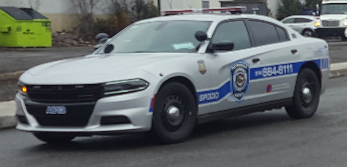
Français : Ma photo d'un Dodge Charger police de Dollard-Des-Ormeaux à Pointe-Claire , Québec, Canada . |
| Date | |
| Source | Own work. |
| Author | Bull-Doser |
| Camera location | | View this and other nearby images on: OpenStreetMap |
|---|
Licensing
| I, the copyright holder of this work, release this work into the public domain. This applies worldwide. In some countries this may not be legally possible; if so: I grant anyone the right to use this work for any purpose, without any conditions, unless such conditions are required by law. |
File history
Click on a date/time to view the file as it appeared at that time.
| Date/Time | Thumbnail | Dimensions | User | Comment | |
|---|---|---|---|---|---|
| current | 04:00, 7 May 2019 | | 1,143 × 550 (312 KB) | Bull-Doser | =={{int:filedesc}}== {{Information |Description={{en|1=Dodge Charger Dollard-Des-Ormeaux photographed in Pointe-Claire , Québec, Canada .}}<br>{{fr|1=Ma photo d'un Dodge Charger police de Dollard-Des-Ormeaux à Pointe-Claire , Québec, Canada .}} |Source={{Own}}. |Da... |
File usage
The following pages on the English Wikipedia use this file (pages on other projects are not listed):

Recent Comments