
How Can We Help?
Size of this preview: 800 × 600 pixels. Other resolutions: 320 × 240 pixels | 640 × 480 pixels | 1,024 × 768 pixels | 1,280 × 960 pixels | 2,560 × 1,920 pixels | 4,224 × 3,168 pixels.
Original file (4,224 × 3,168 pixels, file size: 3.44 MB, MIME type: image/jpeg)
Summary
| Description |
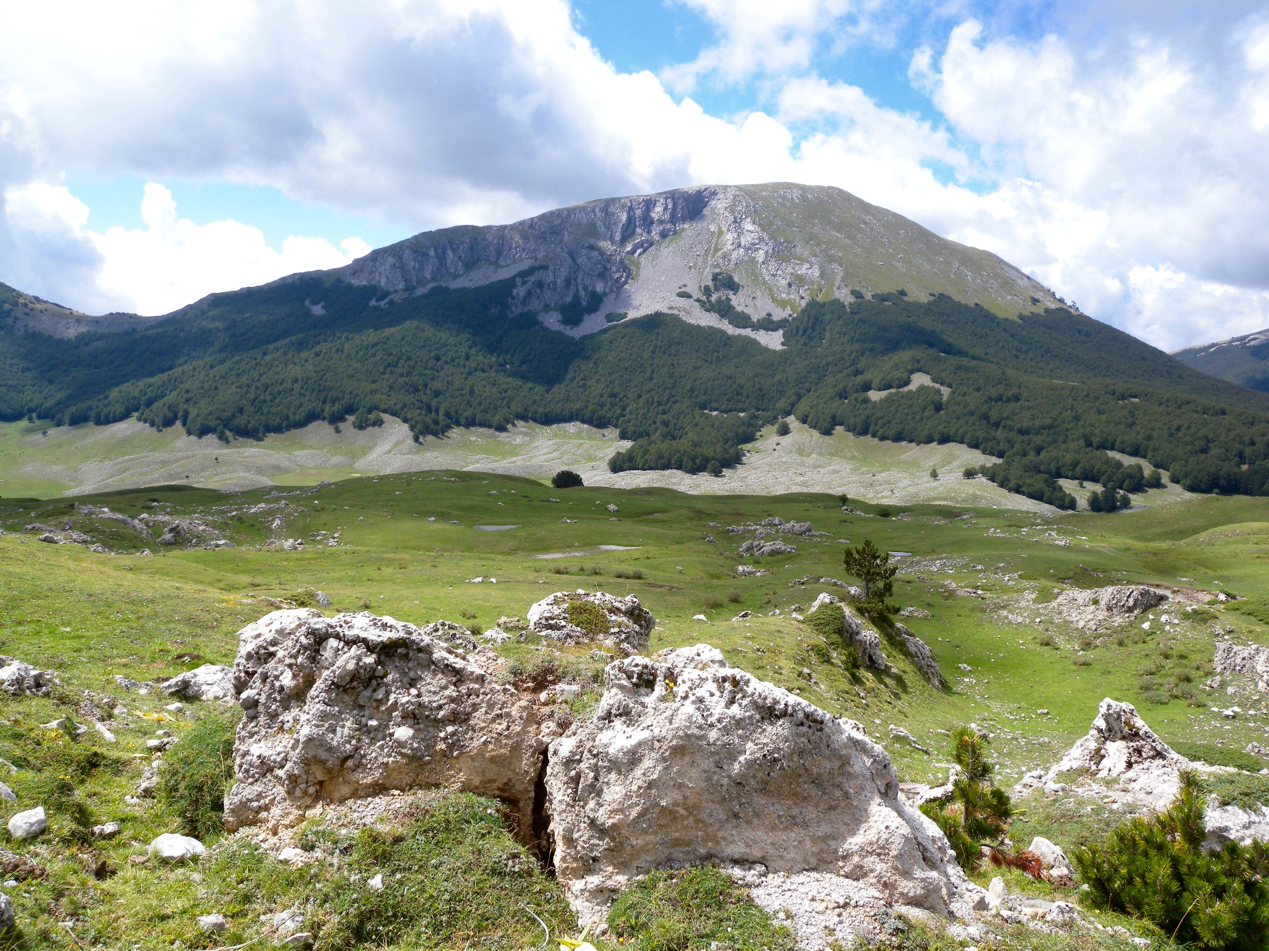
Italiano: Il versante nord di Monte Pollino |
| Date | 7 July 2016 (original upload date) |
| Source | Transferred from it.wikipedia to Commons. |
| Author | Fernando Santopaolo at Italian Wikipedia |
| Object location | | View this and other nearby images on: OpenStreetMap |
|---|
Licensing
| This work has been released into the public domain by its author, Fernando Santopaolo at Italian Wikipedia. This applies worldwide. In some countries this may not be legally possible; if so: Fernando Santopaolo grants anyone the right to use this work for any purpose, without any conditions, unless such conditions are required by law. |
Original upload log
The original description page was here. All following user names refer to it.wikipedia.
| Date/Time | Dimensions | User | Comment |
|---|---|---|---|
| 2016-07-07 08:54 | 4224×3168× (3602827 bytes) | Fernando Santopaolo | Il versante nord di Monte Pollino |
File history
Click on a date/time to view the file as it appeared at that time.
| Date/Time | Thumbnail | Dimensions | User | Comment | |
|---|---|---|---|---|---|
| current | 23:26, 7 July 2016 | | 4,224 × 3,168 (3.44 MB) | Mannivu | Transferred from it.wikipedia |
File usage
The following pages on the English Wikipedia use this file (pages on other projects are not listed):
Global file usage
The following other wikis use this file:
- Usage on cs.wikipedia.org
- Usage on de.wikipedia.org
- Usage on de.wikivoyage.org
- Usage on en.wikivoyage.org
- Usage on eo.wikipedia.org
- Usage on eo.wikivoyage.org
- Usage on hu.wikipedia.org
- Usage on hy.wikipedia.org
- Usage on it.wikipedia.org
- Usage on it.wikivoyage.org
- Usage on ja.wikipedia.org
- Usage on ml.wikipedia.org
- Usage on nl.wikipedia.org
- Usage on oc.wikipedia.org
- Usage on simple.wikipedia.org
- Usage on sw.wikipedia.org
- Usage on tr.wikipedia.org
- Usage on war.wikipedia.org
- Usage on zh-yue.wikipedia.org
- Usage on zh.wikipedia.org

.jpg¶ms=039.907640_N_0016.188490_E_globe:Earth_class:object_type:object__&language=en)
Recent Comments