How Can We Help?
You are here:
< Back
Size of this preview: 800 × 533 pixels. Other resolutions: 320 × 213 pixels | 640 × 427 pixels | 1,024 × 683 pixels | 1,280 × 853 pixels | 2,560 × 1,707 pixels | 6,240 × 4,160 pixels.
Original file (6,240 × 4,160 pixels, file size: 11.46 MB, MIME type: image/jpeg)
Summary
DescriptionCimetiere Ste Anne Perade 005.jpg |
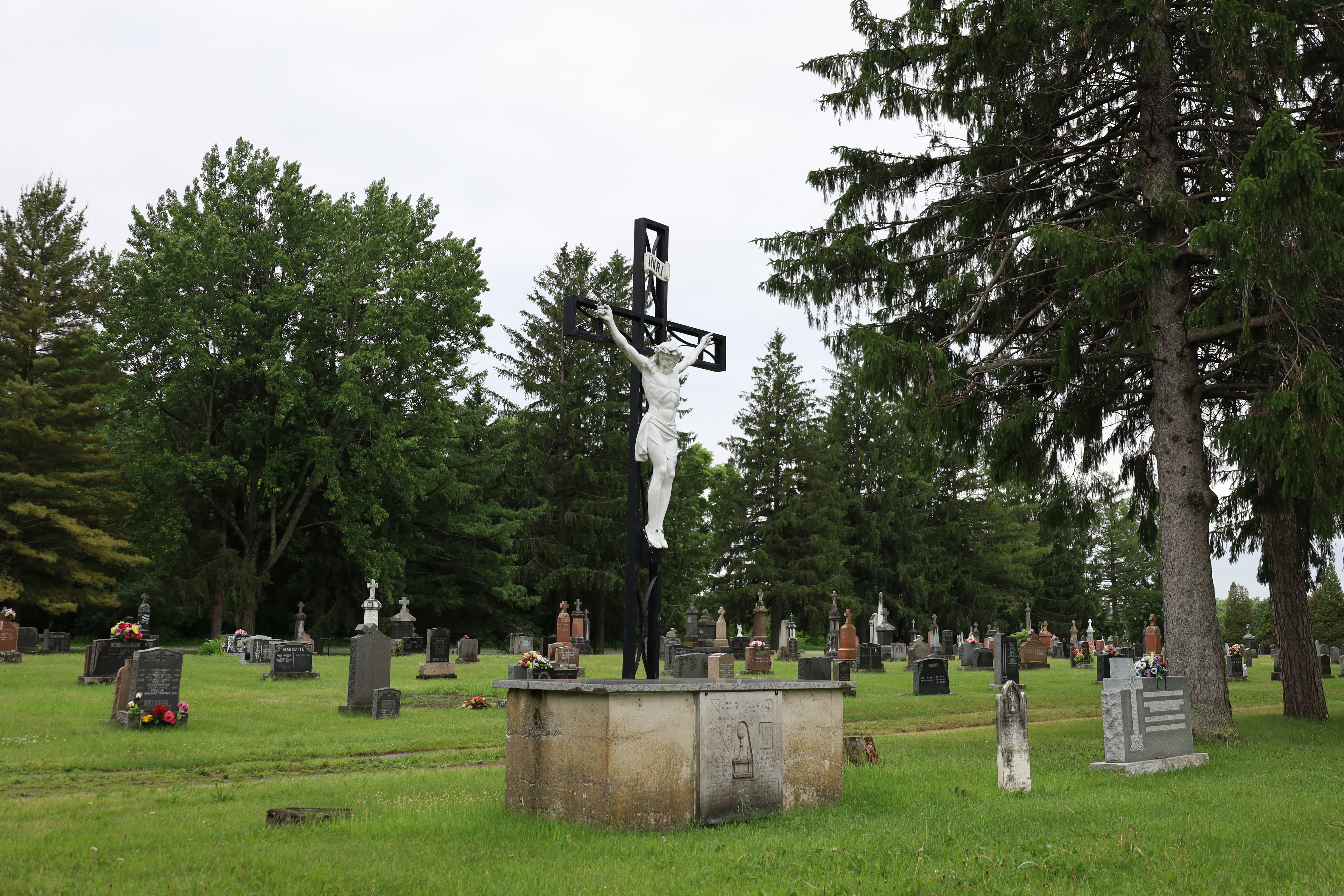
English: Mauricie, Les Chenaux Regional County Municipality, Sainte-Anne-de-la-Pérade (Municipality), cemetery, boulevard Lanaudière (route 138 – chemin du Roy), Friday, June 16, 2023.
Français : Mauricie, MRC Les Chenaux, Sainte-Anne-de-la-Pérade (Municipalité), cimetière, boulevard Lanaudière (route 138 – chemin du Roy), le vendredi 16 juin 2023. |
Date | |
Source | Own work |
Author | Nichole Ouellette/ouellette001.com |
Camera location | 46° 34′ 12.01″ N, 72° 11′ 04.4″ W | View this and other nearby images on: OpenStreetMap | 46.570003; -72.184555 |
---|
- More infos/photos, same author: ouellette001.com – Québec en photos Sainte-Anne-de-la-Pérade
- About Québec en photos
- Home ouellette001.com
Licensing
I, the copyright holder of this work, hereby publish it under the following license:
This file is licensed under the Creative Commons Attribution-Share Alike 4.0 International license.
- You are free:
- to share – to copy, distribute and transmit the work
- to remix – to adapt the work
- Under the following conditions:
- attribution – You must give appropriate credit, provide a link to the license, and indicate if changes were made. You may do so in any reasonable manner, but not in any way that suggests the licensor endorses you or your use.
- share alike – If you remix, transform, or build upon the material, you must distribute your contributions under the same or compatible license as the original.
Items portrayed in this file
depicts
cemetery
cemetery
Sainte-Anne-de-la-Pérade
Mauricie
Chemin du Roy
creator
some value
author name string: Nichole Ouellette/ouellette001.com
Wikimedia username: Nichole Ouellette
copyright status
copyrighted
copyright license
Creative Commons Attribution-ShareAlike 4.0 International
source of file
original creation by uploader
inception
16 June 2023
coordinates of the point of view
46°34'12.011"N, 72°11'4.398"W
captured with
Canon EOS RP
media type
image/jpeg
checksum
b7d7bf68dfebf2227a68c0881b4eccf94f9fbb76
determination method: 0702186578
data size
12,012,070 byte
height
4,160 pixel
width
6,240 pixel
File history
Click on a date/time to view the file as it appeared at that time.
Date/Time | Thumbnail | Dimensions | User | Comment | |
---|---|---|---|---|---|
current | 15:23, 4 August 2023 | 6,240 × 4,160 (11.46 MB) | Nichole Ouellette | Uploaded own work with UploadWizard |
File usage
The following pages on the English Wikipedia use this file (pages on other projects are not listed):
Global file usage
The following other wikis use this file:
- Usage on fr.wikipedia.org
Metadata
This file contains additional information, probably added from the digital camera or scanner used to create or digitize it.
If the file has been modified from its original state, some details may not fully reflect the modified file.
Camera manufacturer | Canon |
---|---|
Camera model | Canon EOS RP |
Author | Nichole Ouellette - nichole@ouellette001.com |
Copyright holder | ouellette001.com / florelaurentienne.com |
Exposure time | 1/125 sec (0.008) |
F-number | f/5 |
ISO speed rating | 100 |
Date and time of data generation | 07:50, 16 June 2023 |
Lens focal length | 35 mm |
Latitude | 46° 34′ 12.01″ N |
Longitude | 72° 11′ 4.4″ W |
Altitude | 11.79 meters above sea level |
Short title |
|
Image title |
|
Orientation | Normal |
Horizontal resolution | 72 dpi |
Vertical resolution | 72 dpi |
File change date and time | 07:50, 16 June 2023 |
Y and C positioning | Co-sited |
Exposure Program | Normal program |
Exif version | 2.31 |
Date and time of digitizing | 07:50, 16 June 2023 |
Meaning of each component |
|
Shutter speed | 7 |
APEX aperture | 4.625 |
Exposure bias | 0 |
Metering mode | Pattern |
Flash | Flash did not fire |
DateTime subseconds | 54 |
DateTimeOriginal subseconds | 54 |
DateTimeDigitized subseconds | 54 |
Supported Flashpix version | 1 |
Color space | sRGB |
Focal plane X resolution | 4,409.8939929329 |
Focal plane Y resolution | 4,411.4528101803 |
Focal plane resolution unit | inches |
Custom image processing | Normal process |
Exposure mode | Auto exposure |
White balance | Auto white balance |
Scene capture type | Standard |
GPS time (atomic clock) | 11:49 |
Satellites used for measurement | |
Receiver status | Measurement in progress |
Geodetic survey data used | WGS-84 |
GPS date | 16 June 2023 |
GPS tag version | 2.3.0.0 |
Rating (out of 5) | 5 |
Categories
-
Annuals36
-
Bulbs, Corms & Tubers41
-
Ferns27
-
Fruits3
-
Garden Plants23
-
Grasses26
-
Herb17
-
Insects1
-
Mammals1
-
Midwest Native Plants0
-
Northeast Native Plants112
-
Perennials123
-
Rose1
-
Shrubs47
-
Trees112
-
Tropical Plants53
-
Upland Birds5
-
Vines18
-
Viola Tricolor1
-
Water Gardening & Plants9
-
Waterfowl0
-
Wetland Birds0
-
Wetland Plants4
-
Wildbirds172
-
Wildflowers1
-
Woodland Plants29
Table of Contents
Recent Comments