
How Can We Help?

Size of this preview: 800 × 532 pixels. Other resolutions: 320 × 213 pixels | 640 × 426 pixels | 1,024 × 681 pixels | 1,280 × 852 pixels | 2,560 × 1,704 pixels | 4,592 × 3,056 pixels.
Original file (4,592 × 3,056 pixels, file size: 5.74 MB, MIME type: image/jpeg)
Summary
| Description |
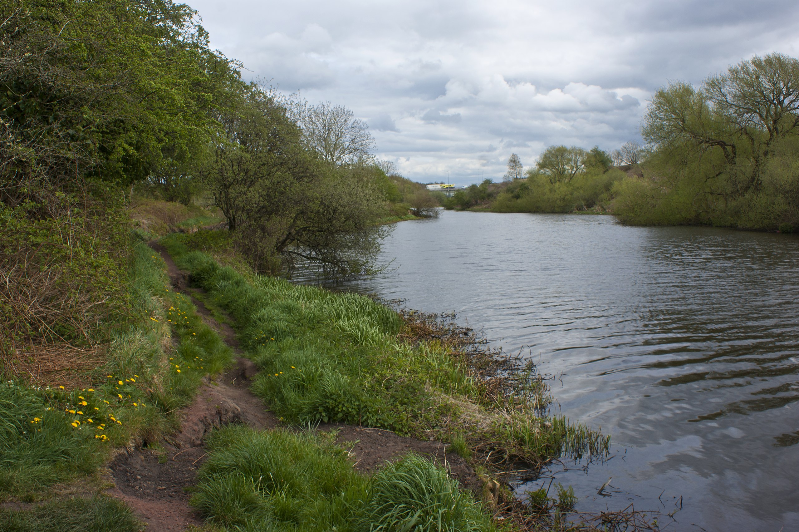
English: Footpath along the River Mersey affected by "severe bank collapse" |
| Depicts | path, watercourse, viaduct, controlled-access highway, bank, long-distance trail, Woolston |
| Date |
|
| Source |
Geograph Britain and Ireland |
| Author |
Ian Greig |
| Place of creation | Woolston |
| Camera location | | View this and other nearby images on: OpenStreetMap |
|---|
| Object location | | View this and other nearby images on: OpenStreetMap |
|---|
Licensing

|
This image was taken from the Geograph project collection. See this photograph's page on the Geograph website for the photographer's contact details. The copyright on this image is owned by Ian Greig
|
This file is licensed under the Creative Commons Attribution-Share Alike 2.0 Generic license.
Attribution: Footpath along the River Mersey affected by "severe bank collapse" by Ian Greig
- You are free:
- to share – to copy, distribute and transmit the work
- to remix – to adapt the work
- Under the following conditions:
- attribution – You must give appropriate credit, provide a link to the license, and indicate if changes were made. You may do so in any reasonable manner, but not in any way that suggests the licensor endorses you or your use.
- share alike – If you remix, transform, or build upon the material, you must distribute your contributions under the same or compatible license as the original.
File history
Click on a date/time to view the file as it appeared at that time.
| Date/Time | Thumbnail | Dimensions | User | Comment | |
|---|---|---|---|---|---|
| current | 05:06, 27 April 2022 | | 4,592 × 3,056 (5.74 MB) | GeographBot | Uploading geograph.org.uk image from https://www.geograph.org.uk/photo/3442033 |
File usage
The following pages on the English Wikipedia use this file (pages on other projects are not listed):
Global file usage
The following other wikis use this file:
- Usage on he.wikipedia.org
- Usage on uk.wikipedia.org

Recent Comments