
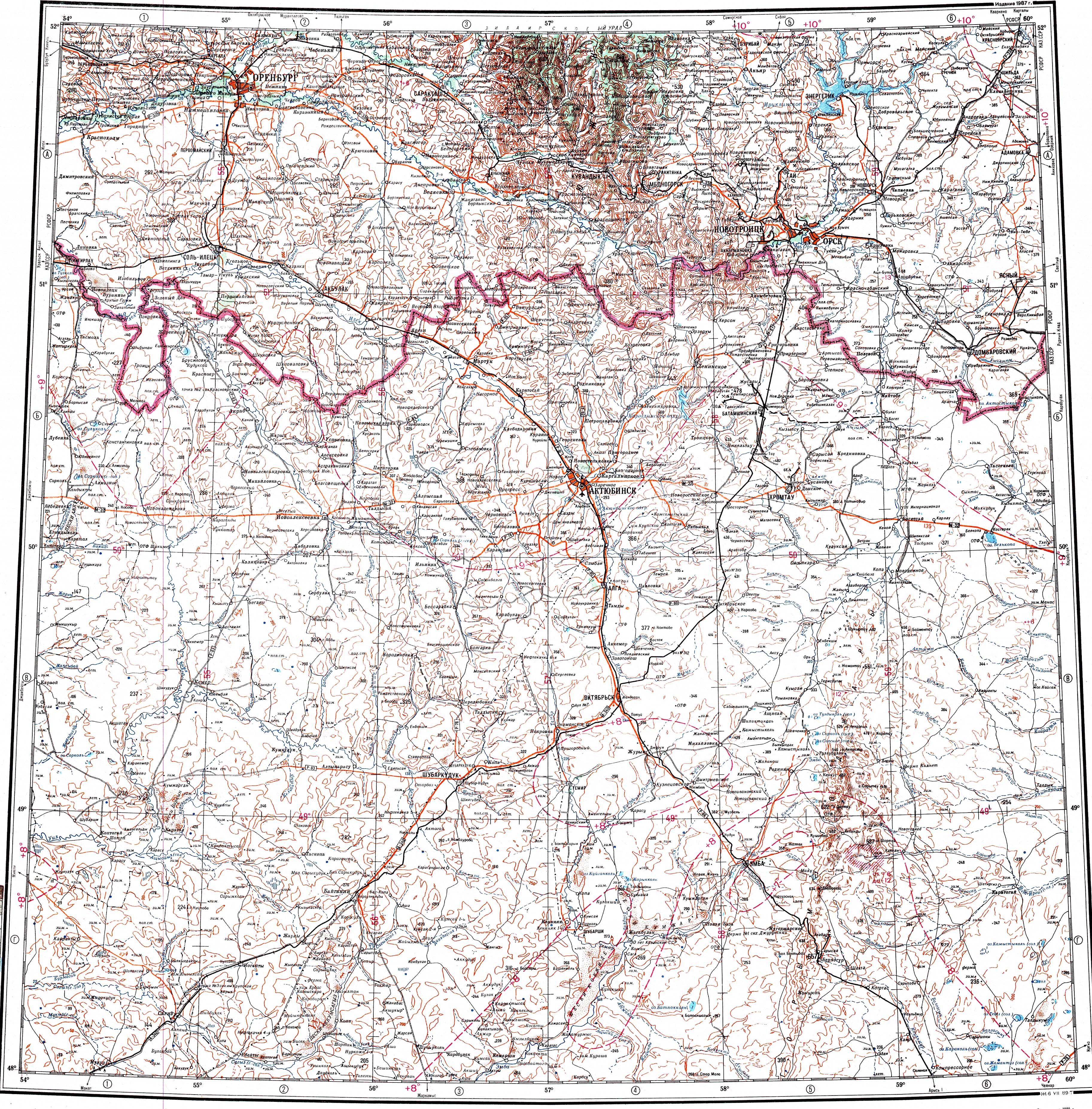
Mugalzhar (Kazakh: Мұғалжар), also known as Mugodzhar Hills or Mugodzhar Range (Russian: Мугоджары),[1] is a mountain range of moderate height in the Aktobe Region of northwestern Kazakhstan.
Geography
Stretching in a roughly north/south direction, the Mugalzhar is a southern prolongation of the Ural Mountains. The northernmost section a narrow ridge that branches into two almost parallel ridges separated by the gently undulating 20 kilometers (12 mi) Alabass Basin (Russian: Алабасская котловина).[2]
The Mugalzhar has a length of about 200 kilometers (120 mi) with a width of 30 kilometers (19 mi). It stretches from the Or River (река Орь) as a narrow range that further south splits in two: the Eastern Mugalzhar and Western Mugalzhar. The highest point is 657 meters (2,156 ft) high Mount Ulken Baktybay (Boktybay), rising in the Eastern Mugalzhar.[3][4][5]
Located at the southern end, the Shoshkakol Buirat is a spur of low hills reaching a height of 408 meters (1,339 ft).[4] In the northern section, the wider Mugalzhar connects with the Guberlin Mountains.[3]
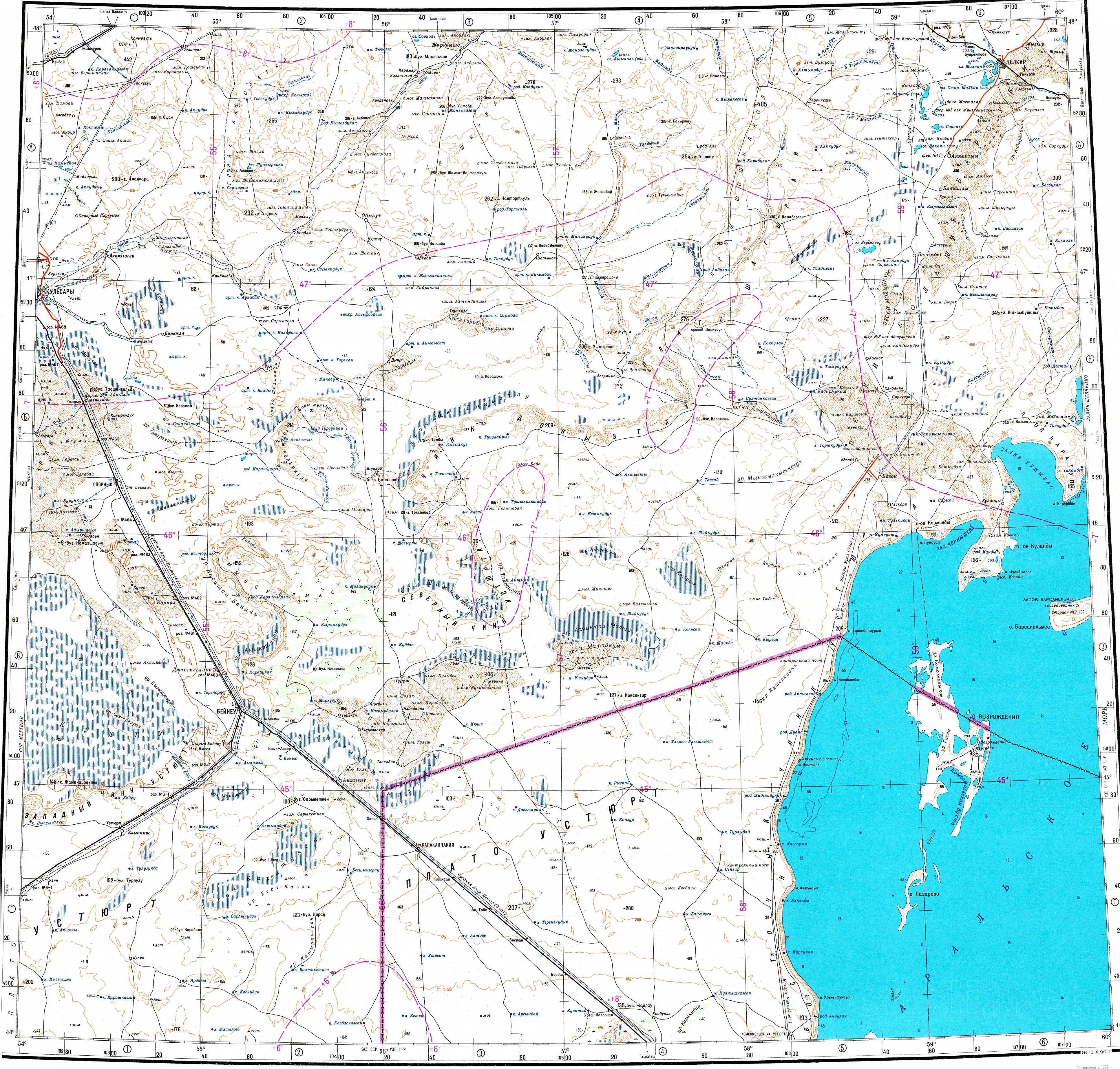
Hydrography
The Mugalzhar forms the divide between the Caspian and Aral Sea basins.[2] Some of the rivers having their sources in the Mugalzhar are Or, Emba, Irgiz, Zhylandysay, Bolgasyn and Kauylzhyr.[4][3]
References
- ^ Gory Mugodzhary Geonames
- ^ a b "Мугоджары". Great Soviet Encyclopedia.
- ^ a b c "M-40 Topographic Chart (in Russian)". Retrieved 9 January 2024.
- ^ a b c "L-40 Topographic Chart (in Russian)". Retrieved 9 January 2024.
- ^ Google Earth
External links
 Media related to Mugodzhar Hills at Wikimedia Commons

Recent Comments