
How Can We Help?
No higher resolution available.
Track_of_Railway,_from_Ingleby_Incline_at_Bank_Foot_Farm_-_geograph.org.uk_-_1594044.jpg (640 × 427 pixels, file size: 98 KB, MIME type: image/jpeg)
| Description |
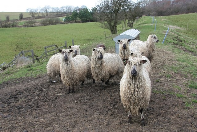
English: Track of Railway, from Ingleby Incline at Bank Foot Farm, near to Ingleby Greenhow, North Yorkshire, Great Britain. Now a feeding point for a small flock of Teeswater sheep, the raised bed of the old railway line can clearly be seen heading towards the trees in the background. The line originally joined what is now the Esk Valley at nearby Battersby Junction. |
||
| Date | |||
| Source | From geograph.org.uk | ||
| Author | Paul Buckingham | ||
| Permission (Reusing this file) |
This file is licensed under the Creative Commons Attribution-Share Alike 2.0 Generic license. Attribution: Paul Buckingham
|
||
| Attribution (required by the license) | Paul Buckingham / Track of Railway, from Ingleby Incline at Bank Foot Farm / | ||

| Camera location | | View this and other nearby images on: OpenStreetMap |
|---|
| Object location | | View this and other nearby images on: OpenStreetMap |
|---|
File history
Click on a date/time to view the file as it appeared at that time.
| Date/Time | Thumbnail | Dimensions | User | Comment | |
|---|---|---|---|---|---|
| current | 13:19, 15 June 2010 | | 640 × 427 (98 KB) | File Upload Bot (Magnus Manske) | == {{int:filedesc}} == {{Information |Description={{en|1=Track of Railway, from Ingleby Incline at Bank Foot Farm, near to Ingleby Greenhow, North Yorkshire, Great Britain. Now a feeding point for a small flock of Teeswater sheep, the raised bed of the ol |
File usage
The following pages on the English Wikipedia use this file (pages on other projects are not listed):
Global file usage
The following other wikis use this file:
- Usage on ar.wikipedia.org
- Usage on arz.wikipedia.org
- Usage on de.wikipedia.org
- Usage on fr.wikipedia.org
- Usage on id.wikipedia.org
- Usage on ja.wikipedia.org
- Usage on vi.wikipedia.org
- Usage on www.wikidata.org

_region:GB-GBN_heading:337.00&language=en)
Recent Comments