
How Can We Help?
No higher resolution available.
The_army_training_area_on_Pirbright_Common_-_geograph.org.uk_-_49750.jpg (640 × 427 pixels, file size: 101 KB, MIME type: image/jpeg)
Summary
| Description |
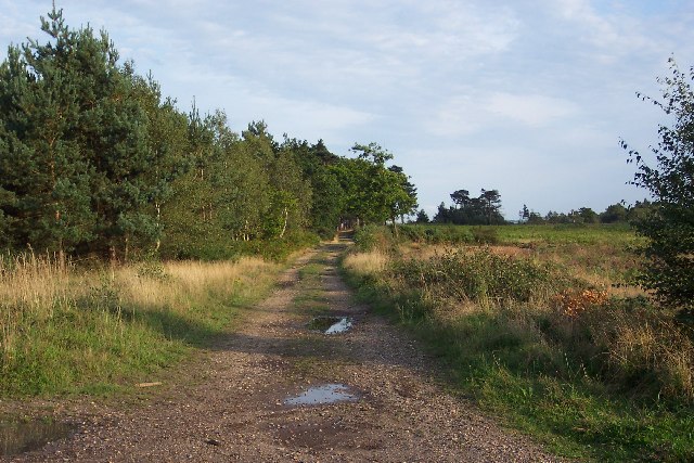
English: The army training area on Pirbright Common. No longer a right of way, the Old Guildford Road (see SU9055) heads south-east through the army training area on Pirbright Common. Thanks to the army's presence thousands of acres of countryside have remained untouched in an area in which land is readily gobbled up for development. |
| Date | |
| Source | From geograph.org.uk |
| Author | Ron Strutt |
| Attribution (required by the license) | Ron Strutt / The army training area on Pirbright Common / |
| Object location | | View this and other nearby images on: OpenStreetMap |
|---|
Licensing

|
This image was taken from the Geograph project collection. See this photograph's page on the Geograph website for the photographer's contact details. The copyright on this image is owned by Ron Strutt and is licensed for reuse under the Creative Commons Attribution-ShareAlike 2.0 license.
|
This file is licensed under the Creative Commons Attribution-Share Alike 2.0 Generic license.
Attribution: Ron Strutt
- You are free:
- to share – to copy, distribute and transmit the work
- to remix – to adapt the work
- Under the following conditions:
- attribution – You must give appropriate credit, provide a link to the license, and indicate if changes were made. You may do so in any reasonable manner, but not in any way that suggests the licensor endorses you or your use.
- share alike – If you remix, transform, or build upon the material, you must distribute your contributions under the same or compatible license as the original.
File history
Click on a date/time to view the file as it appeared at that time.
| Date/Time | Thumbnail | Dimensions | User | Comment | |
|---|---|---|---|---|---|
| current | 19:35, 30 January 2010 | | 640 × 427 (101 KB) | GeographBot | == {{int:filedesc}} == {{Information |description={{en|1=The army training area on Pirbright Common. No longer a right of way, the Old Guildford Road (see SU9055) heads south-east through the army training area on Pirbright Common. Thanks to the army's pr |
File usage
The following pages on the English Wikipedia use this file (pages on other projects are not listed):

_&language=en)
Recent Comments