
How Can We Help?

Size of this preview: 800 × 451 pixels. Other resolutions: 320 × 180 pixels | 640 × 361 pixels | 1,024 × 577 pixels | 1,280 × 721 pixels | 1,920 × 1,082 pixels.
Original file (1,920 × 1,082 pixels, file size: 498 KB, MIME type: image/jpeg)
Summary
| Description |
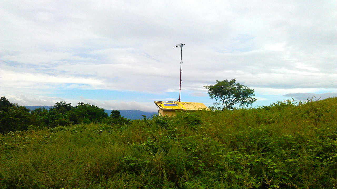
English: A solar-powered remote monitoring station located at Taal Volcano island. It sends data to its base station at the Taal Volcano Observatory at Talisay, Batangas 6.7 kilometers away at 358 degrees bearing. |
||||
| Date | |||||
| Source | Own work | ||||
| Author | Ervin Malicdem | ||||
| Permission (Reusing this file) |
I, the copyright holder of this work, hereby publish it under the following licenses:
This file is licensed under the Creative Commons Attribution-Share Alike 4.0 International license.
You may select the license of your choice.
|


| Camera location | | View this and other nearby images on: OpenStreetMap |
|---|
Initially published at Schadow1 Expeditions article http://www.s1expeditions.com/2012/12/taal-volcano-island-220masl.html
File history
Click on a date/time to view the file as it appeared at that time.
| Date/Time | Thumbnail | Dimensions | User | Comment | |
|---|---|---|---|---|---|
| current | 18:02, 15 February 2015 | | 1,920 × 1,082 (498 KB) | Schadow1 | User created page with UploadWizard |
File usage
The following pages on the English Wikipedia use this file (pages on other projects are not listed):
Global file usage
The following other wikis use this file:
- Usage on mk.wikipedia.org
- Usage on vi.wikipedia.org

Recent Comments