
How Can We Help?

Size of this preview: 800 × 450 pixels. Other resolutions: 320 × 180 pixels | 640 × 360 pixels | 1,024 × 576 pixels | 1,280 × 720 pixels | 2,560 × 1,440 pixels | 3,708 × 2,086 pixels.
Original file (3,708 × 2,086 pixels, file size: 1.89 MB, MIME type: image/jpeg)
Summary
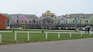
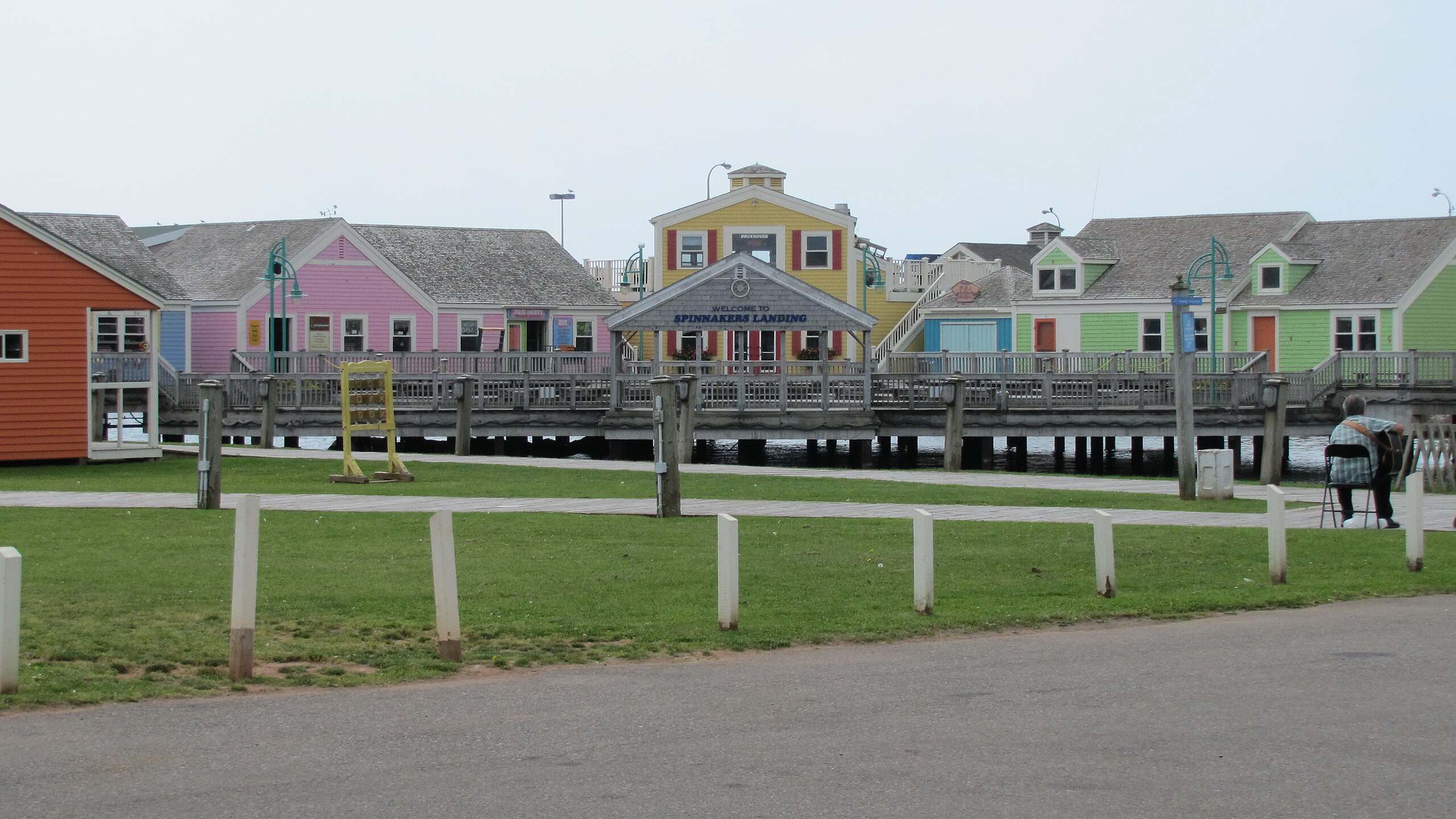
| Description | Spinnakers' Landing, Harbour Dr, Summerside, Prince Edward Island, Canada |
| Date | |
| Source | Spinnakers' Landing, Harbour Dr, Summerside (471202) |
| Author | Robert Linsdell from St. Andrews, Canada |
| Camera location | | View this and other nearby images on: OpenStreetMap |
|---|
Licensing
This file is licensed under the Creative Commons Attribution 2.0 Generic license.
- You are free:
- to share – to copy, distribute and transmit the work
- to remix – to adapt the work
- Under the following conditions:
- attribution – You must give appropriate credit, provide a link to the license, and indicate if changes were made. You may do so in any reasonable manner, but not in any way that suggests the licensor endorses you or your use.
| This image was originally posted to Flickr by Bob Linsdell at https://flickr.com/photos/92487715@N03/9447935719 (archive). It was reviewed on 7 May 2018 by FlickreviewR 2 and was confirmed to be licensed under the terms of the cc-by-2.0. |
File history
Click on a date/time to view the file as it appeared at that time.
| Date/Time | Thumbnail | Dimensions | User | Comment | |
|---|---|---|---|---|---|
| current | 20:34, 7 May 2018 | | 3,708 × 2,086 (1.89 MB) | OceanAtoll | Transferred from Flickr via #flickr2commons |
File usage
The following pages on the English Wikipedia use this file (pages on other projects are not listed):
Global file usage
The following other wikis use this file:
- Usage on en.wikivoyage.org

_(9447935719).jpg¶ms=046.389532_N_-063.786696_E_globe:Earth_type:camera_source:Flickr_&language=en)
Recent Comments