How Can We Help?
You are here:
< Back
Size of this preview: 800 × 600 pixels. Other resolutions: 320 × 240 pixels | 640 × 480 pixels | 1,024 × 768 pixels | 1,280 × 960 pixels | 2,500 × 1,875 pixels.
Original file (2,500 × 1,875 pixels, file size: 227 KB, MIME type: image/jpeg)
Summary
DescriptionSanta Catarina - BR-101 (geometria).jpg |
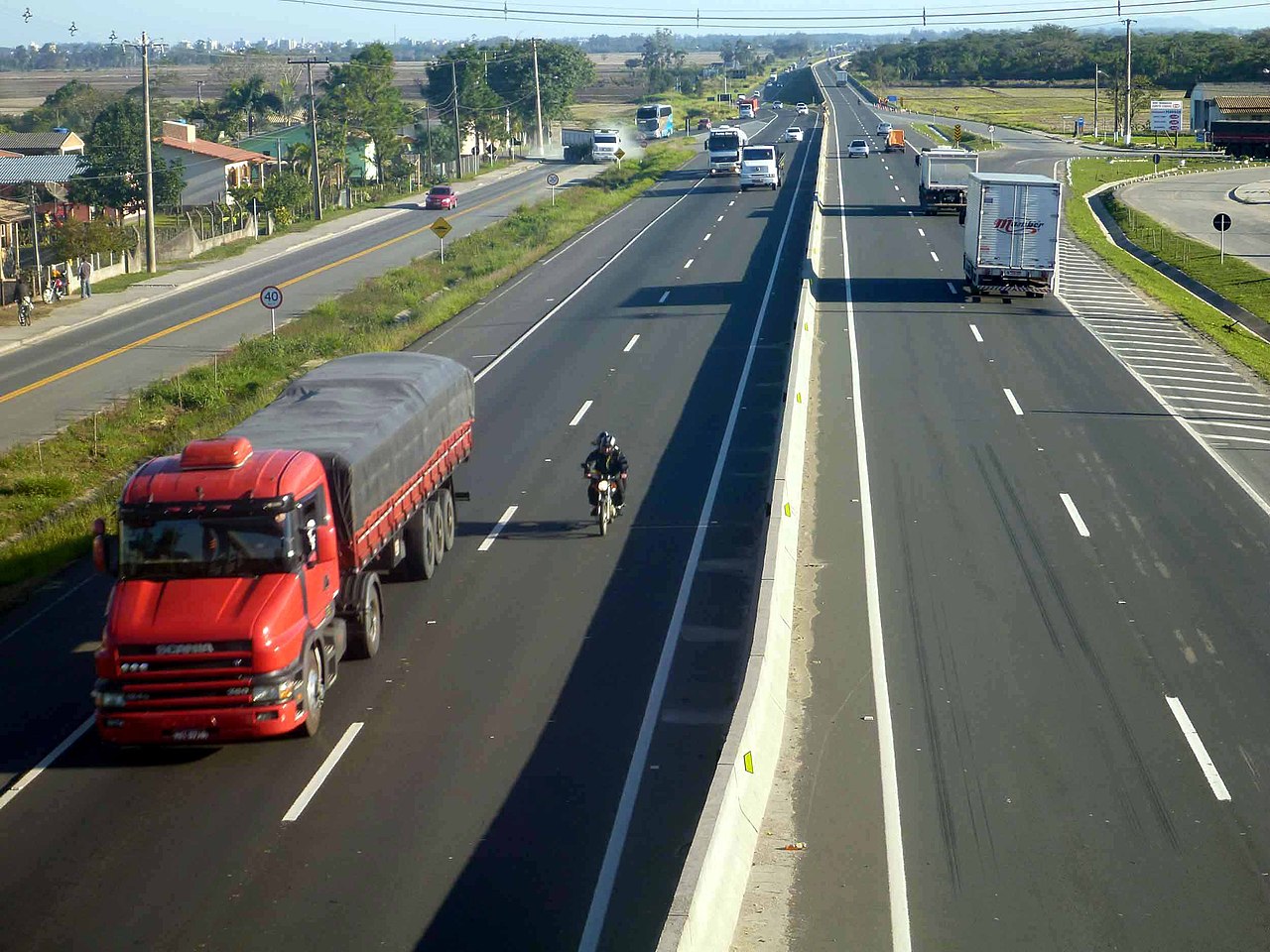
Español: La BR-101 a su paso por el estado de Santa Catarina, en Brasil. |
Date | |
Source | https://www.flickr.com/photos/agenciacnt/8102634322/ |
Author | Agência CNT de Notícias |
Camera location | 28° 52′ 29.31″ S, 49° 27′ 13.63″ W | View this and other nearby images on: OpenStreetMap | -28.874808; -49.453786 |
---|
Licensing
This image, originally posted to Flickr, was reviewed on 31 October 2012 by the administrator or reviewer Morning Sunshine, who confirmed that it was available on Flickr under the stated license on that date. |
This file is licensed under the Creative Commons Attribution 2.0 Generic license.
- You are free:
- to share – to copy, distribute and transmit the work
- to remix – to adapt the work
- Under the following conditions:
- attribution – You must give appropriate credit, provide a link to the license, and indicate if changes were made. You may do so in any reasonable manner, but not in any way that suggests the licensor endorses you or your use.
Items portrayed in this file
depicts
creator
some value
author name string: Agência CNT de Notícias
copyright status
copyrighted
copyright license
Creative Commons Attribution 2.0 Generic
inception
19 July 2012
coordinates of the point of view
28°52'29.309999999"S, 49°27'13.630000000"W
heading: 225 degree
exposure time
0.008 second
f-number
5.5
focal length
13.4 millimetre
ISO speed
100
instance of
photograph
source of file
file available on the internet
operator: Flickr
described at URL: https://www.flickr.com/photos/agenciacnt/8102634322
File history
Click on a date/time to view the file as it appeared at that time.
Date/Time | Thumbnail | Dimensions | User | Comment | |
---|---|---|---|---|---|
current | 22:58, 30 October 2012 | 2,500 × 1,875 (227 KB) | Loco085 | User created page with UploadWizard |
File usage
The following pages on the English Wikipedia use this file (pages on other projects are not listed):
Global file usage
The following other wikis use this file:
- Usage on fr.wikipedia.org
- Usage on pt.wikipedia.org
- Usage on www.wikidata.org
Metadata
This file contains additional information, probably added from the digital camera or scanner used to create or digitize it.
If the file has been modified from its original state, some details may not fully reflect the modified file.
Camera manufacturer | Panasonic |
---|---|
Camera model | DMC-TS3 |
Exposure time | 1/125 sec (0.008) |
F-number | f/5.5 |
ISO speed rating | 100 |
Date and time of data generation | 15:57, 19 July 2012 |
Lens focal length | 13.4 mm |
Latitude | 28° 52′ 29.31″ S |
Longitude | 49° 27′ 13.63″ W |
Altitude | 17 meters below sea level |
Orientation | Normal |
Horizontal resolution | 150 dpi |
Vertical resolution | 150 dpi |
Software used | GIMP 2.6.12 |
File change date and time | 19:57, 30 October 2012 |
Y and C positioning | Co-sited |
Exposure Program | Normal program |
Exif version | 2.3 |
Date and time of digitizing | 15:57, 19 July 2012 |
Meaning of each component |
|
Image compression mode | 4 |
Exposure bias | 0 |
Maximum land aperture | 4.921875 APEX (f/5.51) |
Metering mode | Pattern |
Light source | Unknown |
Flash | Flash did not fire, compulsory flash suppression |
Supported Flashpix version | 1 |
Color space | sRGB |
Sensing method | One-chip color area sensor |
File source | Digital still camera |
Scene type | A directly photographed image |
Custom image processing | Normal process |
Exposure mode | Auto exposure |
White balance | Auto white balance |
Digital zoom ratio | 0 |
Focal length in 35 mm film | 76 mm |
Scene capture type | Standard |
Scene control | None |
Contrast | Normal |
Saturation | Normal |
Sharpness | Normal |
Reference for direction of image | True direction |
Direction of image | 225 |
GPS tag version | 0.0.3.2 |
Supported Flashpix version | 1 |
Image width | 2,500 px |
Image height | 1,875 px |
GPS date | 15:56, 19 July 2012 |
Satellites used for measurement | 4 |
Receiver status | Measurement in progress |
Measurement mode | 2-dimensional measurement |
Measurement precision | Poor (3.6) |
Geodetic survey data used | WGS-84 |
Date metadata was last modified | 07:06, 19 October 2012 |
Unique ID of original document | xmp.did:5A5E0BC4ED19E21192FF9EBB0F90A6A8 |
Categories
-
Annuals36
-
Bulbs, Corms & Tubers41
-
Ferns27
-
Fruits3
-
Garden Plants23
-
Grasses26
-
Herb17
-
Insects1
-
Mammals1
-
Midwest Native Plants0
-
Northeast Native Plants112
-
Perennials123
-
Rose1
-
Shrubs47
-
Trees112
-
Tropical Plants53
-
Upland Birds5
-
Vines18
-
Viola Tricolor1
-
Water Gardening & Plants9
-
Waterfowl0
-
Wetland Birds0
-
Wetland Plants4
-
Wildbirds172
-
Wildflowers1
-
Woodland Plants29
Table of Contents
Recent Comments