How Can We Help?
You are here:
< Back
Size of this preview: 800 × 450 pixels. Other resolutions: 320 × 180 pixels | 640 × 360 pixels | 1,024 × 576 pixels | 1,600 × 900 pixels.
Original file (1,600 × 900 pixels, file size: 379 KB, MIME type: image/jpeg)
Summary
DescriptionR471-2019-375.jpg |
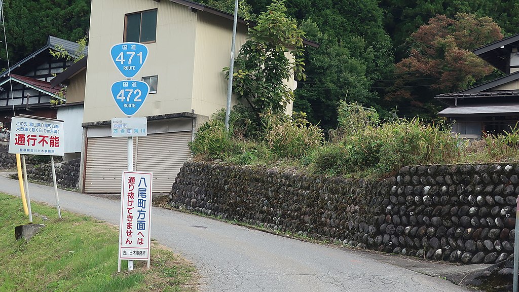
日本語: 国道471号 国道472との重複 |
Date | |
Source | Own work |
Author | Puchi-masashi |
Camera location | 36° 18′ 22.99″ N, 137° 05′ 31.55″ E | View this and other nearby images on: OpenStreetMap | 36.306385; 137.092098 |
---|
Licensing
I, the copyright holder of this work, hereby publish it under the following license:
This file is licensed under the Creative Commons Attribution-Share Alike 4.0 International license.
- You are free:
- to share – to copy, distribute and transmit the work
- to remix – to adapt the work
- Under the following conditions:
- attribution – You must give appropriate credit, provide a link to the license, and indicate if changes were made. You may do so in any reasonable manner, but not in any way that suggests the licensor endorses you or your use.
- share alike – If you remix, transform, or build upon the material, you must distribute your contributions under the same or compatible license as the original.
Items portrayed in this file
depicts
creator
some value
author name string: Puchi-masashi
Wikimedia username: Puchi-masashi
copyright status
copyrighted
copyright license
Creative Commons Attribution-ShareAlike 4.0 International
inception
29 September 2019
coordinates of the point of view
36°18'22.986"N, 137°5'31.553"E
source of file
original creation by uploader
exposure time
0.003125 second
f-number
4
focal length
15.635 millimetre
ISO speed
125
media type
image/jpeg
instance of
photograph
File history
Click on a date/time to view the file as it appeared at that time.
Date/Time | Thumbnail | Dimensions | User | Comment | |
---|---|---|---|---|---|
current | 08:02, 6 October 2019 | 1,600 × 900 (379 KB) | Puchi-masashi | User created page with UploadWizard |
File usage
The following pages on the English Wikipedia use this file (pages on other projects are not listed):
Global file usage
The following other wikis use this file:
- Usage on ja.wikipedia.org
- Usage on ms.wikipedia.org
Metadata
This file contains additional information, probably added from the digital camera or scanner used to create or digitize it.
If the file has been modified from its original state, some details may not fully reflect the modified file.
Camera manufacturer | Canon |
---|---|
Camera model | Canon PowerShot G9 X Mark II |
Exposure time | 1/320 sec (0.003125) |
F-number | f/4 |
ISO speed rating | 125 |
Date and time of data generation | 12:46, 29 September 2019 |
Lens focal length | 15.635 mm |
Latitude | 36° 18′ 14.83″ N |
Longitude | 137° 6′ 13.81″ E |
Altitude | 0 meters above sea level |
Width | 3,648 px |
Height | 2,048 px |
Bits per component |
|
Pixel composition | RGB |
Orientation | Normal |
Number of components | 3 |
Horizontal resolution | 180 dpi |
Vertical resolution | 180 dpi |
Software used | Adobe Photoshop CC 2019 (Windows) |
File change date and time | 16:39, 6 October 2019 |
Y and C positioning | Co-sited |
Exposure Program | Normal program |
Exif version | 2.3 |
Date and time of digitizing | 12:46, 29 September 2019 |
Meaning of each component |
|
Image compression mode | 3 |
Shutter speed | 8.3125 |
APEX aperture | 4 |
Exposure bias | 0 |
Maximum land aperture | 3.625 APEX (f/3.51) |
Metering mode | Pattern |
Flash | Flash did not fire, compulsory flash suppression |
DateTime subseconds | 11 |
DateTimeOriginal subseconds | 11 |
DateTimeDigitized subseconds | 11 |
Supported Flashpix version | 1 |
Color space | sRGB |
Focal plane X resolution | 7,056.0928433269 |
Focal plane Y resolution | 7,049.2753623188 |
Focal plane resolution unit | inches |
Sensing method | One-chip color area sensor |
File source | Digital still camera |
Custom image processing | Normal process |
Exposure mode | Auto exposure |
White balance | Auto white balance |
Digital zoom ratio | 1 |
Scene capture type | Standard |
GPS time (atomic clock) | 03:47 |
Receiver status | Measurement in progress |
Geodetic survey data used | WGS-84 |
GPS date | 29 September 2019 |
GPS tag version | 0.0.3.2 |
Serial number of camera | 611052000760 |
Lens used | 10.2-30.6 mm |
Date metadata was last modified | 01:39, 7 October 2019 |
Unique ID of original document | 6089C52979DE8BF20586575E0C6B1EF2 |
IIM version | 4 |
Categories
-
Annuals36
-
Bulbs, Corms & Tubers41
-
Ferns27
-
Fruits3
-
Garden Plants23
-
Grasses26
-
Herb17
-
Insects1
-
Mammals1
-
Midwest Native Plants0
-
Northeast Native Plants112
-
Perennials123
-
Rose1
-
Shrubs47
-
Trees112
-
Tropical Plants53
-
Upland Birds5
-
Vines18
-
Viola Tricolor1
-
Water Gardening & Plants9
-
Waterfowl0
-
Wetland Birds0
-
Wetland Plants4
-
Wildbirds172
-
Wildflowers1
-
Woodland Plants29
Table of Contents
Recent Comments