
How Can We Help?

Size of this preview: 800 × 524 pixels. Other resolutions: 320 × 210 pixels | 640 × 419 pixels | 1,024 × 671 pixels | 1,200 × 786 pixels.
Original file (1,200 × 786 pixels, file size: 240 KB, MIME type: image/jpeg)
|
This is an image of a place or building that is listed on the National Register of Historic Places in the United States of America. Its reference number is 2000696. |
Summary
| Description |
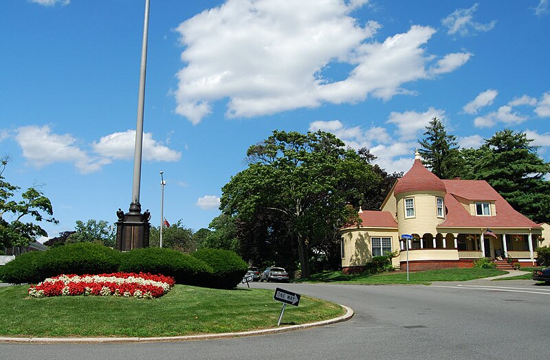
English: Olmstead Historic District, Swampscott, Massachusetts |
| Date | |
| Source | Own work |
| Author | Marcbela (Marc N. Belanger) |
| Object location | | View this and other nearby images on: OpenStreetMap |
|---|
Licensing
| I, the copyright holder of this work, release this work into the public domain. This applies worldwide. In some countries this may not be legally possible; if so: I grant anyone the right to use this work for any purpose, without any conditions, unless such conditions are required by law. |
File history
Click on a date/time to view the file as it appeared at that time.
| Date/Time | Thumbnail | Dimensions | User | Comment | |
|---|---|---|---|---|---|
| current | 11:03, 22 July 2009 | | 1,200 × 786 (240 KB) | Marcbela | {{Information |Description={{en|1=Olmstead Historic District, Swampscott, Massachusetts}} |Source=Own work by uploader |Author=Marcbela |Date=2009-07-19 |Permission= |other_versions= }} Category:Swampscott, Massachusetts |
File usage
The following pages on the English Wikipedia use this file (pages on other projects are not listed):
Global file usage
The following other wikis use this file:
- Usage on de.wikipedia.org
- Usage on it.wikipedia.org
- Usage on www.wikidata.org

Recent Comments