
How Can We Help?
Size of this preview: 800 × 520 pixels. Other resolutions: 320 × 208 pixels | 640 × 416 pixels | 1,024 × 665 pixels.
Original file (1,024 × 665 pixels, file size: 231 KB, MIME type: image/jpeg)
Summary
| Camera location | | View this and other nearby images on: OpenStreetMap |
|---|
| Description |
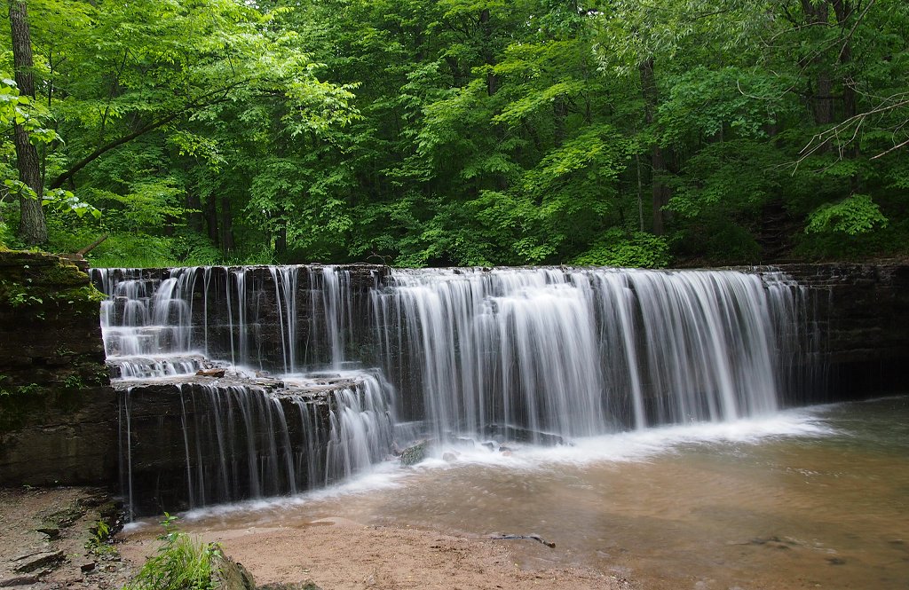
English: Hidden Falls on Prairie Creek during a heavy spring flow, Nerstrand Big Woods State Park, Minnesota, USA |
| Date | |
| Source | Own work |
| Author | McGhiever |
Licensing
I, the copyright holder of this work, hereby publish it under the following license:
This file is licensed under the Creative Commons Attribution-Share Alike 3.0 Unported license.
- You are free:
- to share – to copy, distribute and transmit the work
- to remix – to adapt the work
- Under the following conditions:
- attribution – You must give appropriate credit, provide a link to the license, and indicate if changes were made. You may do so in any reasonable manner, but not in any way that suggests the licensor endorses you or your use.
- share alike – If you remix, transform, or build upon the material, you must distribute your contributions under the same or compatible license as the original.
File history
Click on a date/time to view the file as it appeared at that time.
| Date/Time | Thumbnail | Dimensions | User | Comment | |
|---|---|---|---|---|---|
| current | 12:06, 27 May 2012 | | 1,024 × 665 (231 KB) | McGhiever |
File usage
The following pages on the English Wikipedia use this file (pages on other projects are not listed):
Global file usage
The following other wikis use this file:
- Usage on ceb.wikipedia.org
- Usage on es.wikipedia.org
- Usage on www.wikidata.org

Recent Comments