
How Can We Help?

Size of this preview: 765 × 599 pixels. Other resolutions: 307 × 240 pixels | 613 × 480 pixels | 981 × 768 pixels | 1,280 × 1,003 pixels | 1,500 × 1,175 pixels.
Original file (1,500 × 1,175 pixels, file size: 1.13 MB, MIME type: image/png)
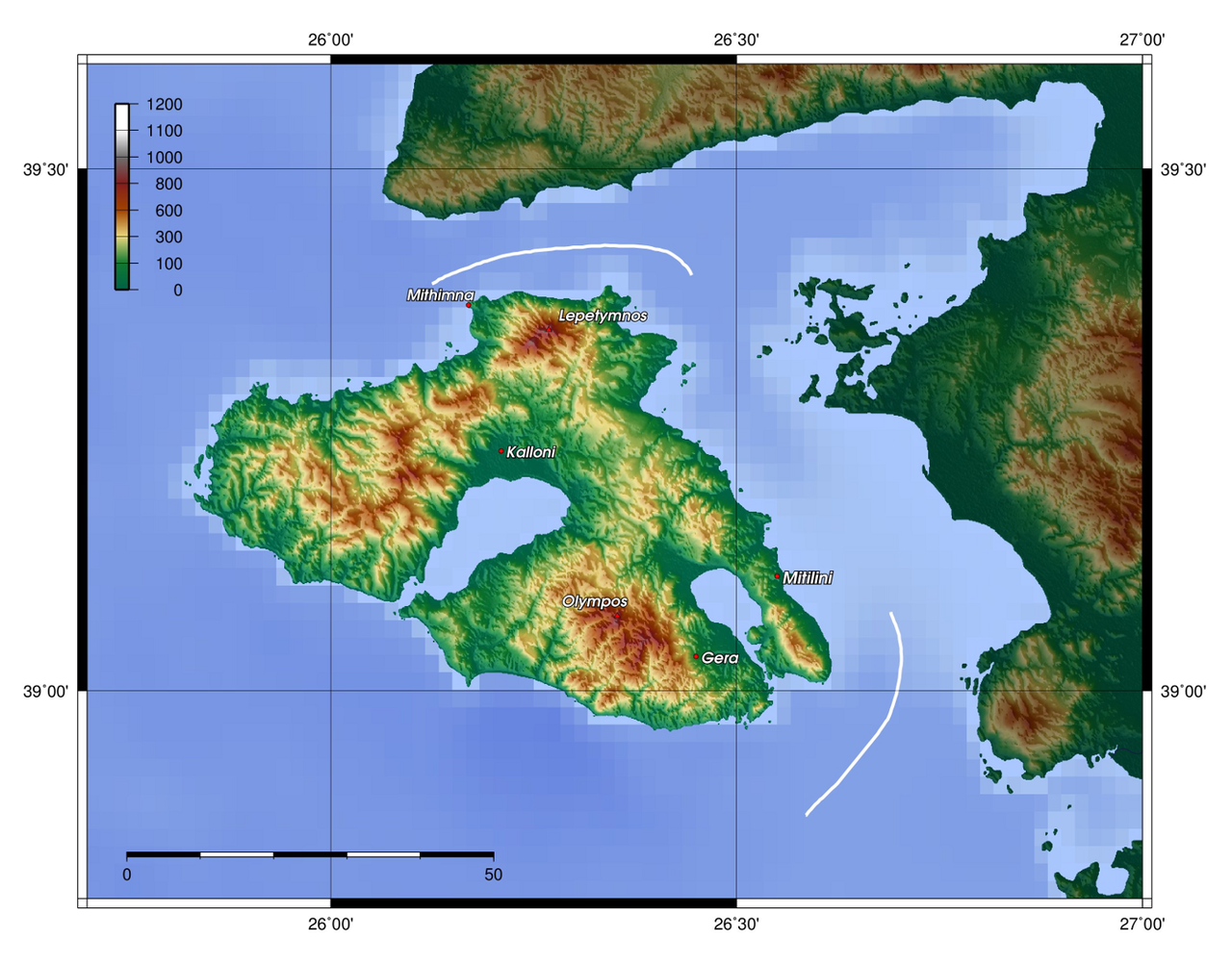
| Description | Description: Topography of Lesbos, created with GMT 4.1.3 | |||||||
| Date | ||||||||
| Source |
At least one of the following Public Domain data sources |
|||||||
| Author | Zamonin | |||||||
| Permission (Reusing this file) |
|

File history
Click on a date/time to view the file as it appeared at that time.
| Date/Time | Thumbnail | Dimensions | User | Comment | |
|---|---|---|---|---|---|
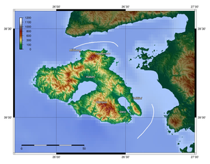
| current | 13:17, 20 November 2012 | | 1,500 × 1,175 (1.13 MB) | Zamonin | new labels |
| 07:38, 8 May 2009 |  | 1,500 × 1,214 (1.16 MB) | Zamonin | Category:Maps of Lesbos {{Information |Description = Description: Topography of Lesbos, created with [http://gmt.soest.hawaii.edu/ GMT] 4.1.3 |Source = Source: At least one of the following Public Domain data sources * [http://www.ngdc.noaa.gov/mgg/ |
File usage
The following pages on the English Wikipedia use this file (pages on other projects are not listed):
Global file usage
The following other wikis use this file:
- Usage on af.wikipedia.org
- Usage on de.wiktionary.org
- Usage on sw.wikipedia.org
- Usage on tr.wikipedia.org
- Usage on uk.wikipedia.org

Recent Comments