
How Can We Help?

Size of this preview: 800 × 583 pixels. Other resolutions: 320 × 233 pixels | 640 × 467 pixels | 1,024 × 747 pixels | 1,240 × 904 pixels.
Original file (1,240 × 904 pixels, file size: 436 KB, MIME type: image/jpeg)

|
This map image could be re-created using vector graphics as an SVG file. This has several advantages; see Commons:Media for cleanup for more information. If an SVG form of this image is available, please upload it and afterwards replace this template with
{{vector version available|new image name}}.
It is recommended to name the SVG file “Gough Island Map.svg”—then the template Vector version available (or Vva) does not need the new image name parameter. |
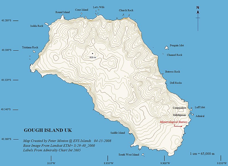
Summary
| Description |
English: Topographic map of Gough Island - EVS Precison Map (1:65,000) |
| Date | |
| Source | flickr |
| Author | Peter Minton (EVS Island) |
Licensing
This file is licensed under the Creative Commons Attribution 2.0 Generic license.
- You are free:
- to share – to copy, distribute and transmit the work
- to remix – to adapt the work
- Under the following conditions:
- attribution – You must give appropriate credit, provide a link to the license, and indicate if changes were made. You may do so in any reasonable manner, but not in any way that suggests the licensor endorses you or your use.
| This image was originally posted to Flickr by EVS-Islands at https://www.flickr.com/photos/60042877@N00/2418411312. It was reviewed on 11 March 2010 by FlickreviewR and was confirmed to be licensed under the terms of the cc-by-2.0. |
File history
Click on a date/time to view the file as it appeared at that time.
| Date/Time | Thumbnail | Dimensions | User | Comment | |
|---|---|---|---|---|---|
| current | 09:49, 11 March 2010 | | 1,240 × 904 (436 KB) | Telim tor | == {{int:filedesc}} == {{Information |Description={{en|Topographic map of Gough Island - EVS Precison Map (1:65,000)}} |Source=[http://www.flickr.com/photos/evsmap/2418411312/in/set-72157604567187939/ flickr] |Author=Peter Minton ([http://www.flickr.com/p |
File usage
The following pages on the English Wikipedia use this file (pages on other projects are not listed):
Global file usage
The following other wikis use this file:
- Usage on ar.wikipedia.org
- Usage on da.wikipedia.org
- Usage on de.wikipedia.org
- Usage on fa.wikipedia.org
- Usage on hr.wikipedia.org
- Usage on pt.wikipedia.org
- Usage on simple.wikipedia.org
- Usage on vi.wikipedia.org

Recent Comments