
How Can We Help?

Size of this preview: 800 × 600 pixels. Other resolutions: 320 × 240 pixels | 640 × 480 pixels | 1,024 × 768 pixels | 1,280 × 960 pixels | 2,560 × 1,920 pixels | 3,264 × 2,448 pixels.
Original file (3,264 × 2,448 pixels, file size: 1.59 MB, MIME type: image/jpeg)
Summary
| Description |
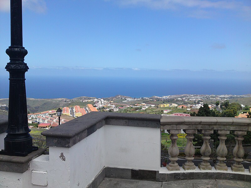
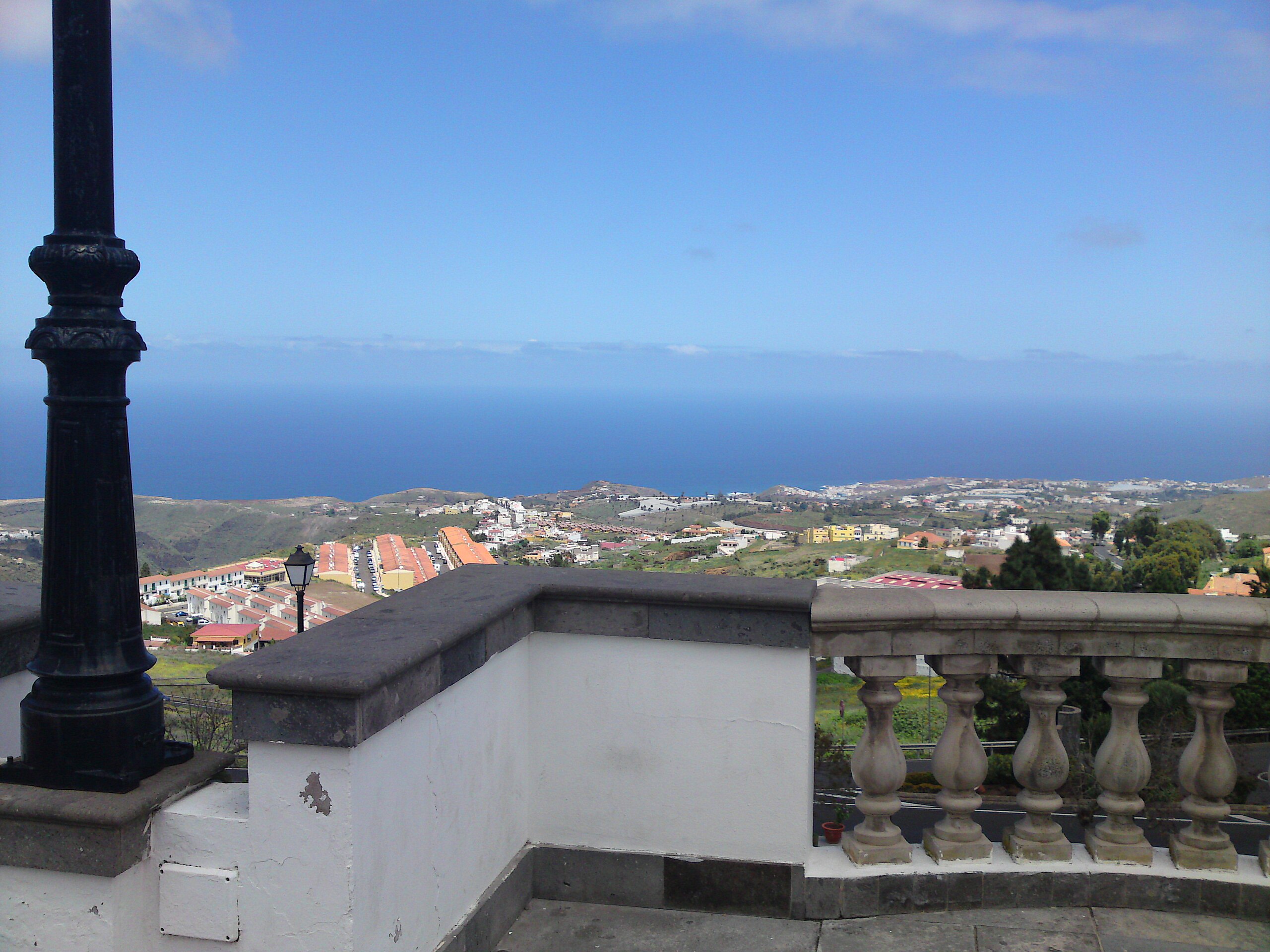
English: View from Firgas town square |
| Date | |
| Source | Own work |
| Author | Jayen466 |
| Camera location | | View this and other nearby images on: OpenStreetMap |
|---|
Licensing
| I, the copyright holder of this work, release this work into the public domain. This applies worldwide. In some countries this may not be legally possible; if so: I grant anyone the right to use this work for any purpose, without any conditions, unless such conditions are required by law. |
File history
Click on a date/time to view the file as it appeared at that time.
| Date/Time | Thumbnail | Dimensions | User | Comment | |
|---|---|---|---|---|---|
| current | 09:54, 26 April 2009 | | 3,264 × 2,448 (1.59 MB) | Jayen466 | {{Information |Description={{en|1=View from Firgas town square}} |Source=Own work by uploader |Author=Jayen466 |Date=2009-04-15 |Permission= |other_versions= }} {{coord|28|6|28.65|N|15|33|48.07|W|region:ES}} <!--{{ImageUpload|full}}--> |
File usage
The following pages on the English Wikipedia use this file (pages on other projects are not listed):

Recent Comments