
How Can We Help?

Size of this preview: 800 × 509 pixels. Other resolutions: 320 × 204 pixels | 640 × 407 pixels | 1,024 × 651 pixels | 1,280 × 814 pixels | 2,560 × 1,629 pixels | 3,969 × 2,525 pixels.
Original file (3,969 × 2,525 pixels, file size: 3.26 MB, MIME type: image/jpeg)
Summary
| Description |
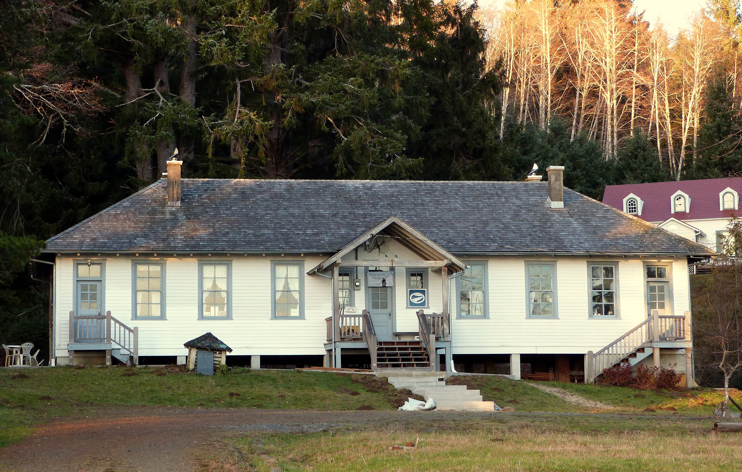
English: The historic Columbia River Quarantine Station (built 1899), located on Washington State Route 401 near Knappton, Washington, United States, is listed on the US National Register of Historic Places.
|
||
| Date | |||
| Source | Own work | ||
| Author | Ian Poellet |
| Camera location | | View this and other nearby images on: OpenStreetMap |
|---|
Licensing
I, the copyright holder of this work, hereby publish it under the following license:
This file is licensed under the Creative Commons Attribution-Share Alike 3.0 Unported license.
- You are free:
- to share – to copy, distribute and transmit the work
- to remix – to adapt the work
- Under the following conditions:
- attribution – You must give appropriate credit, provide a link to the license, and indicate if changes were made. You may do so in any reasonable manner, but not in any way that suggests the licensor endorses you or your use.
- share alike – If you remix, transform, or build upon the material, you must distribute your contributions under the same or compatible license as the original.
File history
Click on a date/time to view the file as it appeared at that time.
| Date/Time | Thumbnail | Dimensions | User | Comment | |
|---|---|---|---|---|---|
| current | 18:27, 6 January 2014 | | 3,969 × 2,525 (3.26 MB) | Ipoellet | User created page with UploadWizard |
File usage
The following pages on the English Wikipedia use this file (pages on other projects are not listed):
Global file usage
The following other wikis use this file:
- Usage on www.wikidata.org

Recent Comments