
How Can We Help?

Size of this PNG preview of this SVG file: 442 × 599 pixels. Other resolutions: 177 × 240 pixels | 354 × 480 pixels | 567 × 768 pixels | 756 × 1,024 pixels | 1,511 × 2,048 pixels | 749 × 1,015 pixels.
Original file (SVG file, nominally 749 × 1,015 pixels, file size: 167 KB)
Summary
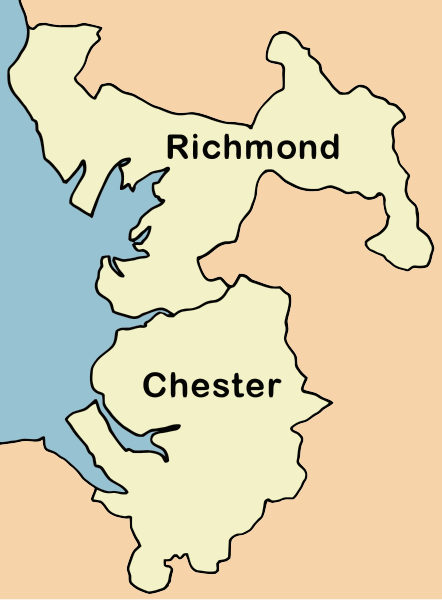
| Description | Map showing the extent and make up of the Chester diocese (UK) in 1541, when it was created from portions of the diocese of Coventry and Lichfield (Chester Archdeaconry) and the diocese of York (Richmond Archdeaconry) |
| Date | |
| Source | Own work |
| Author | David D. Stretch: Ddstretch |
Licensing
| I, the copyright holder of this work, release this work into the public domain. This applies worldwide. In some countries this may not be legally possible; if so: I grant anyone the right to use this work for any purpose, without any conditions, unless such conditions are required by law. |
File history
Click on a date/time to view the file as it appeared at that time.
| Date/Time | Thumbnail | Dimensions | User | Comment | |
|---|---|---|---|---|---|
| current | 13:38, 18 February 2008 | | 749 × 1,015 (167 KB) | Ddstretch |
File usage
The following pages on the English Wikipedia use this file (pages on other projects are not listed):

Recent Comments