
How Can We Help?

Size of this preview: 524 × 600 pixels. Other resolutions: 210 × 240 pixels | 419 × 480 pixels | 671 × 768 pixels | 895 × 1,024 pixels | 1,366 × 1,563 pixels.
Original file (1,366 × 1,563 pixels, file size: 508 KB, MIME type: image/png)
Summary
| Description |
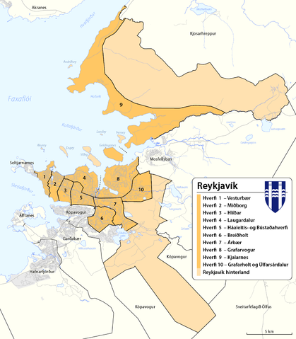
English: Map of adminstartive units of Reykjavík
Íslenska: Hverfaskipting Reykjavíkur. |
|||
| Date | see file history | |||
| Source |
Own work, using
|
|||
| Author | Maximilian Dörrbecker (Chumwa) | |||
| Permission (Reusing this file) |
This file is licensed under the Creative Commons Attribution-Share Alike 2.0 Generic license.
|
File history
Click on a date/time to view the file as it appeared at that time.
| Date/Time | Thumbnail | Dimensions | User | Comment | |
|---|---|---|---|---|---|
| current | 16:31, 11 October 2013 | | 1,366 × 1,563 (508 KB) | Chumwa | built areas added |
| 15:57, 11 October 2013 |  | 1,366 × 1,563 (491 KB) | Chumwa | added scale | |
| 15:34, 11 October 2013 |  | 1,366 × 1,563 (491 KB) | Chumwa | == {{int:filedesc}} == {{Information |Description= {{ de|Karte der Stadtteile (hverfi) von de:Reykjavík und der Gemeinde de:Reykjavíkurborg}} {{ en|Map of adminstartive units of Reykjavík }} |Author=[[:de:User:Chumwa|Maximilian Dörrbeck... |
File usage
The following pages on the English Wikipedia use this file (pages on other projects are not listed):
Global file usage
The following other wikis use this file:
- Usage on ast.wikipedia.org
- Usage on ca.wikipedia.org
- Usage on cs.wikipedia.org
- Usage on da.wikipedia.org
- Usage on de.wikipedia.org
- Usage on eo.wikipedia.org
- Usage on es.wikipedia.org
- Usage on et.wikipedia.org
- Usage on eu.wikipedia.org
- Usage on fi.wikipedia.org
- Usage on fr.wikipedia.org
- Usage on gl.wikipedia.org
- Usage on is.wikipedia.org
- Usage on it.wikipedia.org
- Usage on mhr.wikipedia.org
- Usage on ml.wikipedia.org
- Usage on nl.wikipedia.org
- Usage on pl.wikipedia.org
- Usage on ru.wikipedia.org
- Usage on sd.wikipedia.org
- Usage on sl.wikipedia.org
- Usage on uk.wikipedia.org
- Usage on vep.wikipedia.org
- Usage on vls.wikipedia.org
- Usage on www.wikidata.org

Recent Comments