
How Can We Help?
No higher resolution available.
"Iron-age_"_pig_-_geograph.org.uk_-_204781.jpg (640 × 480 pixels, file size: 157 KB, MIME type: image/jpeg)
Summary
| Description |
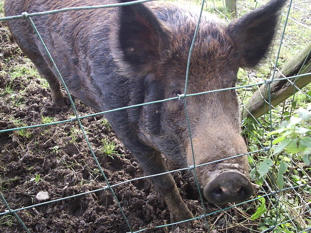
English: "Iron-age " pig. Experiments with prehistoric farming techniques at Castell Henllys include keeping pigs and other animals in the forms closest to those that would have existed in the Iron age. |
| Date | |
| Source | From geograph.org.uk |
| Author | ceridwen |
| Attribution (required by the license) | ceridwen / "Iron-age " pig / |
| Camera location | | View this and other nearby images on: OpenStreetMap |
|---|
| Object location | | View this and other nearby images on: OpenStreetMap |
|---|
Licensing

|
This image was taken from the Geograph project collection. See this photograph's page on the Geograph website for the photographer's contact details. The copyright on this image is owned by ceridwen and is licensed for reuse under the Creative Commons Attribution-ShareAlike 2.0 license.
|
This file is licensed under the Creative Commons Attribution-Share Alike 2.0 Generic license.
Attribution: ceridwen
- You are free:
- to share – to copy, distribute and transmit the work
- to remix – to adapt the work
- Under the following conditions:
- attribution – You must give appropriate credit, provide a link to the license, and indicate if changes were made. You may do so in any reasonable manner, but not in any way that suggests the licensor endorses you or your use.
- share alike – If you remix, transform, or build upon the material, you must distribute your contributions under the same or compatible license as the original.
File history
Click on a date/time to view the file as it appeared at that time.
| Date/Time | Thumbnail | Dimensions | User | Comment | |
|---|---|---|---|---|---|
| current | 16:49, 31 January 2010 | | 640 × 480 (157 KB) | GeographBot | == {{int:filedesc}} == {{Information |description={{en|1="Iron-age " pig. Experiments with prehistoric farming techniques at Castell Henllys include keeping pigs and other animals in the forms closest to those that would have existed in the Iron age. }} | |
File usage
The following pages on the English Wikipedia use this file (pages on other projects are not listed):
Global file usage
The following other wikis use this file:
- Usage on el.wikipedia.org
- Usage on simple.wikipedia.org
- Usage on uk.wikipedia.org
- Usage on vi.wikipedia.org

_heading:112.00&language=en)
_heading:112.00&language=en)
Recent Comments