
How Can We Help?

Size of this preview: 471 × 599 pixels. Other resolutions: 188 × 240 pixels | 377 × 480 pixels | 603 × 768 pixels | 804 × 1,024 pixels | 2,200 × 2,800 pixels.
Original file (2,200 × 2,800 pixels, file size: 1.7 MB, MIME type: image/jpeg)
Captions
Captions
Add a one-line explanation of what this file represents
Summary
| Description |
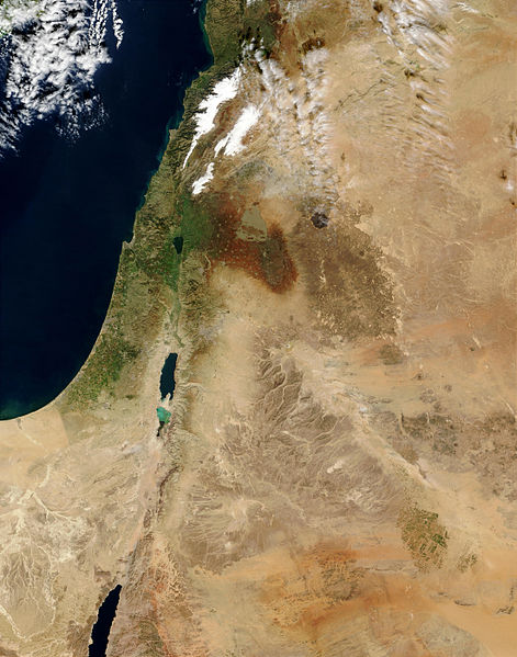
עברית: הורדת הגבולות מן התמונה: File:MiddleEast.A2003031.0820.250m.jpg |
| Date | |
| Source | https://visibleearth.nasa.gov/view.php?id=65114 |
| Author | NASA |
Licensing
| This file is in the public domain in the United States because it was solely created by NASA. NASA copyright policy states that "NASA material is not protected by copyright unless noted". (See Template:PD-USGov, NASA copyright policy page or JPL Image Use Policy.) | ||
 |
Warnings:
|
File history
Click on a date/time to view the file as it appeared at that time.
| Date/Time | Thumbnail | Dimensions | User | Comment | |
|---|---|---|---|---|---|
| current | 16:17, 1 January 2013 | | 2,200 × 2,800 (1.7 MB) | Eladk (talk | contribs) | הסרת גבולות מהחלק השמאלי עליון של המפה. |
| 16:26, 30 December 2012 |  | 2,200 × 2,800 (1.7 MB) | Eladk (talk | contribs) | User created page with UploadWizard |
You cannot overwrite this file.
File usage on Commons
The following 2 pages use this file:
File usage on other wikis
The following other wikis use this file:
- Usage on ca.wikipedia.org
- Usage on en.wikipedia.org
- Usage on es.wikipedia.org
- Usage on he.wikipedia.org
- Usage on it.wikipedia.org
- Usage on no.wikipedia.org
- Usage on ta.wikipedia.org

Recent Comments