
How Can We Help?
Size of this preview: 800 × 487 pixels. Other resolutions: 320 × 195 pixels | 640 × 390 pixels | 1,104 × 672 pixels.
Original file (1,104 × 672 pixels, file size: 144 KB, MIME type: image/jpeg)
Captions
Captions
Add a one-line explanation of what this file represents
| Description |
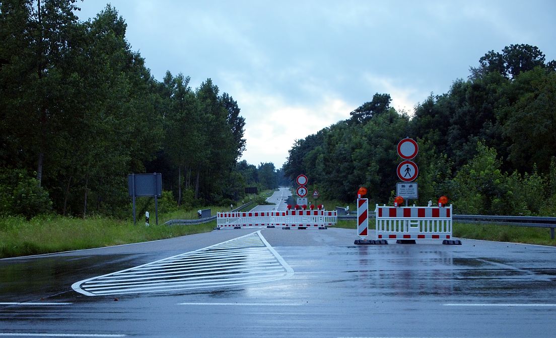
Deutsch: Polder Söllingen/Greffern ›in Betrieb‹, ökologische Flutung.
Die Straße von Greffern zur Fähre liegt auf einem Damm und trennt Teilpolder 1 und 2, die Abzweigung nach Grauelsbaum führt hinab ins Überflutungsgebiet und ist gesperrt. |
| Date | Taken on 13 June 2016 |
| Source | Own work |
| Author | Ikar.us |
| Other versions |
 |
| Camera location | | View this and other nearby images on: OpenStreetMap |
|---|
I, the copyright holder of this work, hereby publish it under the following license:
This file is licensed under the Creative Commons Attribution 3.0 Germany license.
- You are free:
- to share – to copy, distribute and transmit the work
- to remix – to adapt the work
- Under the following conditions:
- attribution – You must give appropriate credit, provide a link to the license, and indicate if changes were made. You may do so in any reasonable manner, but not in any way that suggests the licensor endorses you or your use.

File history
Click on a date/time to view the file as it appeared at that time.
| Date/Time | Thumbnail | Dimensions | User | Comment | |
|---|---|---|---|---|---|
| current | 16:12, 13 June 2016 | | 1,104 × 672 (144 KB) | Ikar.us (talk | contribs) | reprocessed |
| 15:06, 13 June 2016 |  | 1,104 × 672 (138 KB) | Ikar.us (talk | contribs) | {{Information |Description ={{de|1=de:Polder_Söllingen/Greffern ›in Betrieb‹}} |Source ={{own}} |Author =Ikar.us |Date =2016-05-13 |Permission ={{self|cc-by-3.0-de}} |other_versions = }} {{Lo... |
You cannot overwrite this file.
File usage on Commons
The following 2 pages use this file:
File usage on other wikis
The following other wikis use this file:
- Usage on als.wikipedia.org
- Usage on de.wikipedia.org
- Usage on en.wikipedia.org
- Usage on fr.wikipedia.org
- Usage on id.wikipedia.org
- Usage on ig.wikipedia.org
- Usage on sl.wikipedia.org
- Usage on uz.wikipedia.org
- Usage on www.wikidata.org

Recent Comments