
Original file (872 × 872 pixels, file size: 113 KB, MIME type: image/jpeg)
Captions
Captions

|
This locator map image could be re-created using vector graphics as an SVG file. This has several advantages; see Commons:Media for cleanup for more information. If an SVG form of this image is available, please upload it and afterwards replace this template with
{{vector version available|new image name}}.
It is recommended to name the SVG file “Bouvet-Location.svg”—then the template Vector version available (or Vva) does not need the new image name parameter. |
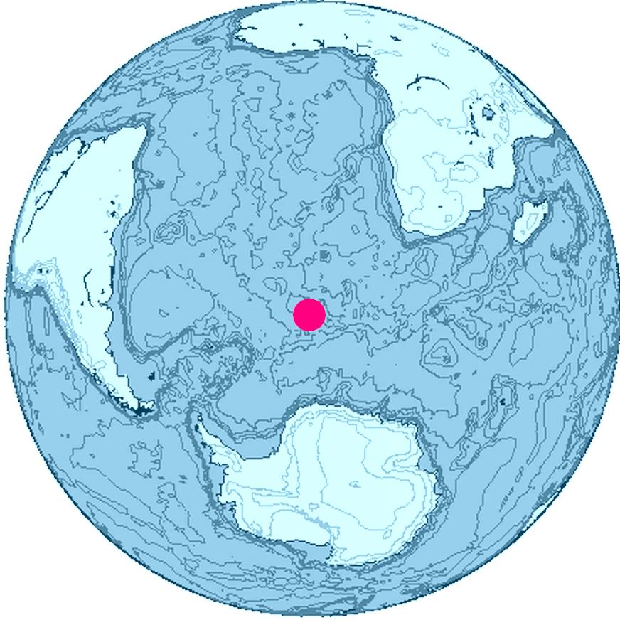
Summary
Location of Bouvet Island, South Atlantic Ocean, Antarctica
The map was created with this online map creation tool archive copy at the Wayback Machine.
Licensing

|
This work is free software; you can redistribute it and/or modify it under the terms of the GNU General Public License as published by the Free Software Foundation; either version 2 of the License, or any later version. This work is distributed in the hope that it will be useful, but without any warranty; without even the implied warranty of merchantability or fitness for a particular purpose. See version 2 and version 3 of the GNU General Public License for more details. |
File history
Click on a date/time to view the file as it appeared at that time.
| Date/Time | Thumbnail | Dimensions | User | Comment | |
|---|---|---|---|---|---|
| current | 16:24, 26 June 2006 | | 872 × 872 (113 KB) | Apcbg (talk | contribs) | Location of Bouvet Island, South Atlantic Ocean, Antarctica The map was created with this [http://www.aquarius.geomar.de/omc/ online map creation tool]. |
You cannot overwrite this file.
File usage on Commons
The following page uses this file:
File usage on other wikis
The following other wikis use this file:
- Usage on ban.wikipedia.org
- Usage on br.wikipedia.org
- Usage on et.wikipedia.org
- Usage on fi.wikipedia.org
- Usage on fr.wiktionary.org
- Usage on io.wikipedia.org
- Usage on kk.wikipedia.org
- Usage on my.wikipedia.org
- Usage on ne.wikipedia.org
- Usage on nn.wikipedia.org
- Usage on pl.wiktionary.org
- Usage on pnb.wikipedia.org
- Usage on ro.wikipedia.org
- Usage on ur.wikipedia.org

Recent Comments