
How Can We Help?

Size of this preview: 800 × 532 pixels. Other resolutions: 320 × 213 pixels | 640 × 425 pixels | 1,024 × 680 pixels | 1,280 × 851 pixels | 2,560 × 1,701 pixels | 4,912 × 3,264 pixels.
Original file (4,912 × 3,264 pixels, file size: 14.91 MB, MIME type: image/jpeg)
Captions
Captions
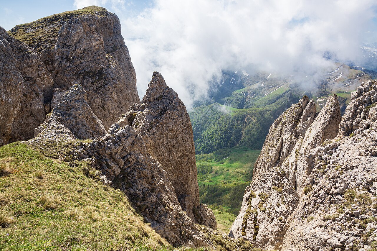
Cliffs of Bolshoy Tkhach, Caucasus Mountains.
Summary
| Description |
English: Cliffs, rock formations of Mount Bolshoy Tkhach, Adygea, Western Caucasus, Russia. Triassic (Carnian) geology of the Western Caucasus.
Русский: Скальные обрывы Большого Тхача. Триасовые скалы, богатые останками карнийской фауны. Непочатый край работы для палеонтологии, палеоботаники и геологии-минералогии начала мезозойской эры (порядка 220-240 миллионов лет назад, средний и верхний триас). Объект всемирного наследия ЮНЕСКО. Отроги Передового хребта Большого Кавказа. Горный массив Большой Тхач, Адыгея, Западный Кавказ, Россия. |
| Date | |
| Source | Own work |
| Author | Vyacheslav Argenberg |
| Camera location | | View this and other nearby images on: OpenStreetMap |
|---|
|
This place is a UNESCO World Heritage Site, listed as
Western Caucasus.
|
Licensing
Vyacheslav Argenberg, the copyright holder of this work, hereby publishes it under the following license:
This file is licensed under the Creative Commons Attribution 4.0 International license.
Attribution: © Vyacheslav Argenberg / http://www.vascoplanet.com/
- You are free:
- to share – to copy, distribute and transmit the work
- to remix – to adapt the work
- Under the following conditions:
- attribution – You must give appropriate credit, provide a link to the license, and indicate if changes were made. You may do so in any reasonable manner, but not in any way that suggests the licensor endorses you or your use.
File history
Click on a date/time to view the file as it appeared at that time.
| Date/Time | Thumbnail | Dimensions | User | Comment | |
|---|---|---|---|---|---|
| current | 16:41, 4 November 2023 | | 4,912 × 3,264 (14.91 MB) | Argenberg (talk | contribs) | Reprocessed for higher fidelity. |
| 19:17, 13 December 2020 |  | 4,912 × 3,264 (12.52 MB) | Argenberg (talk | contribs) | Uploaded own work with UploadWizard |
You cannot overwrite this file.
File usage on Commons
The following 3 pages use this file:

Recent Comments