
How Can We Help?
Size of this preview: 725 × 600 pixels. Other resolutions: 290 × 240 pixels | 580 × 480 pixels.
Original file (800 × 662 pixels, file size: 142 KB, MIME type: image/jpeg)
Summary
| Description |
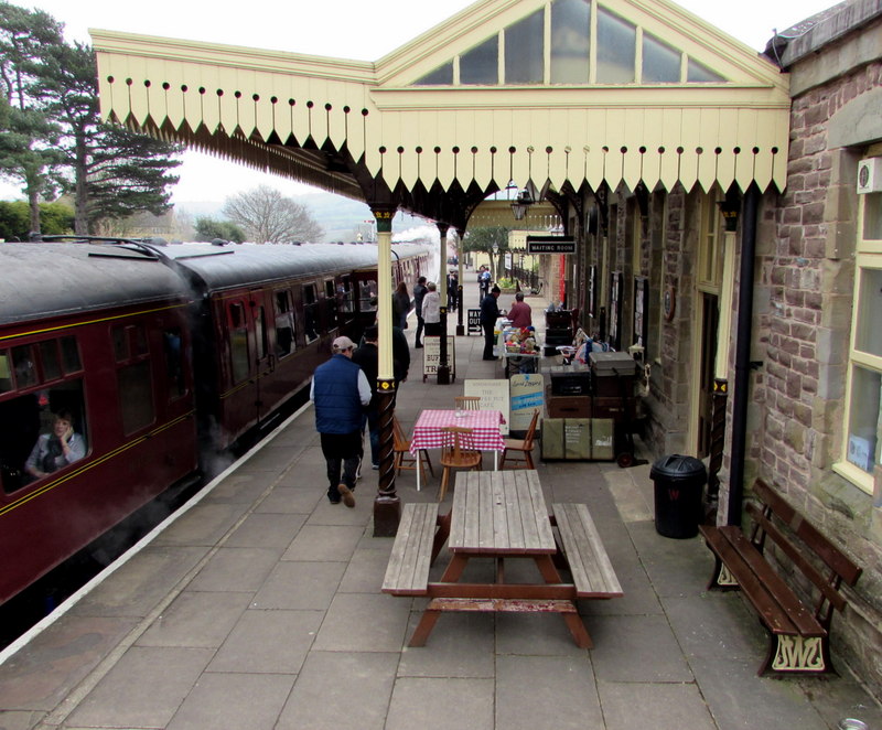
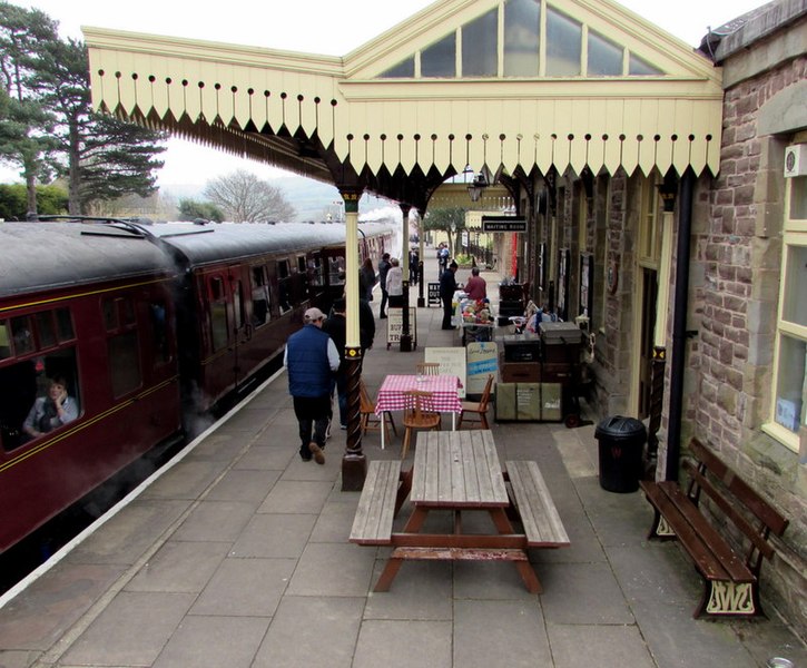
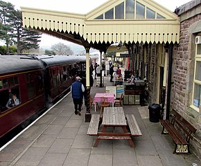
English: Bench and picnic bench on platform 1, Winchcombe railway station. The bench against the wall has the GWR monogram of the Great Western Railway, the original owners of the station. GWR is also the acronym of the current owners, the heritage Gloucestershire Warwickshire Railway. |
| Date | |
| Source | https://www.geograph.org.uk/photo/4583566 |
| Author | Jaggery |
| Attribution (required by the license) | Jaggery / Bench and picnic bench on platform 1, Winchcombe railway station / |
| Camera location | | View this and other nearby images on: OpenStreetMap |
|---|
| Object location | | View this and other nearby images on: OpenStreetMap |
|---|
Licensing

|
This image was taken from the Geograph project collection. See this photograph's page on the Geograph website for the photographer's contact details. The copyright on this image is owned by Jaggery and is licensed for reuse under the Creative Commons Attribution-ShareAlike 2.0 license.
|
This file is licensed under the Creative Commons Attribution-Share Alike 2.0 Generic license.
Attribution: Jaggery
- You are free:
- to share – to copy, distribute and transmit the work
- to remix – to adapt the work
- Under the following conditions:
- attribution – You must give appropriate credit, provide a link to the license, and indicate if changes were made. You may do so in any reasonable manner, but not in any way that suggests the licensor endorses you or your use.
- share alike – If you remix, transform, or build upon the material, you must distribute your contributions under the same or compatible license as the original.
File history
Click on a date/time to view the file as it appeared at that time.
| Date/Time | Thumbnail | Dimensions | User | Comment | |
|---|---|---|---|---|---|
| current | 22:03, 3 May 2017 | | 800 × 662 (142 KB) | Judithcomm | User created page with UploadWizard |
File usage
The following pages on the English Wikipedia use this file (pages on other projects are not listed):
Global file usage
The following other wikis use this file:
- Usage on ms.wikipedia.org
- Usage on sv.wikipedia.org
- Usage on uk.wikipedia.org

_heading:135.00&language=en)
_heading:135.00&language=en)
Recent Comments