
How Can We Help?
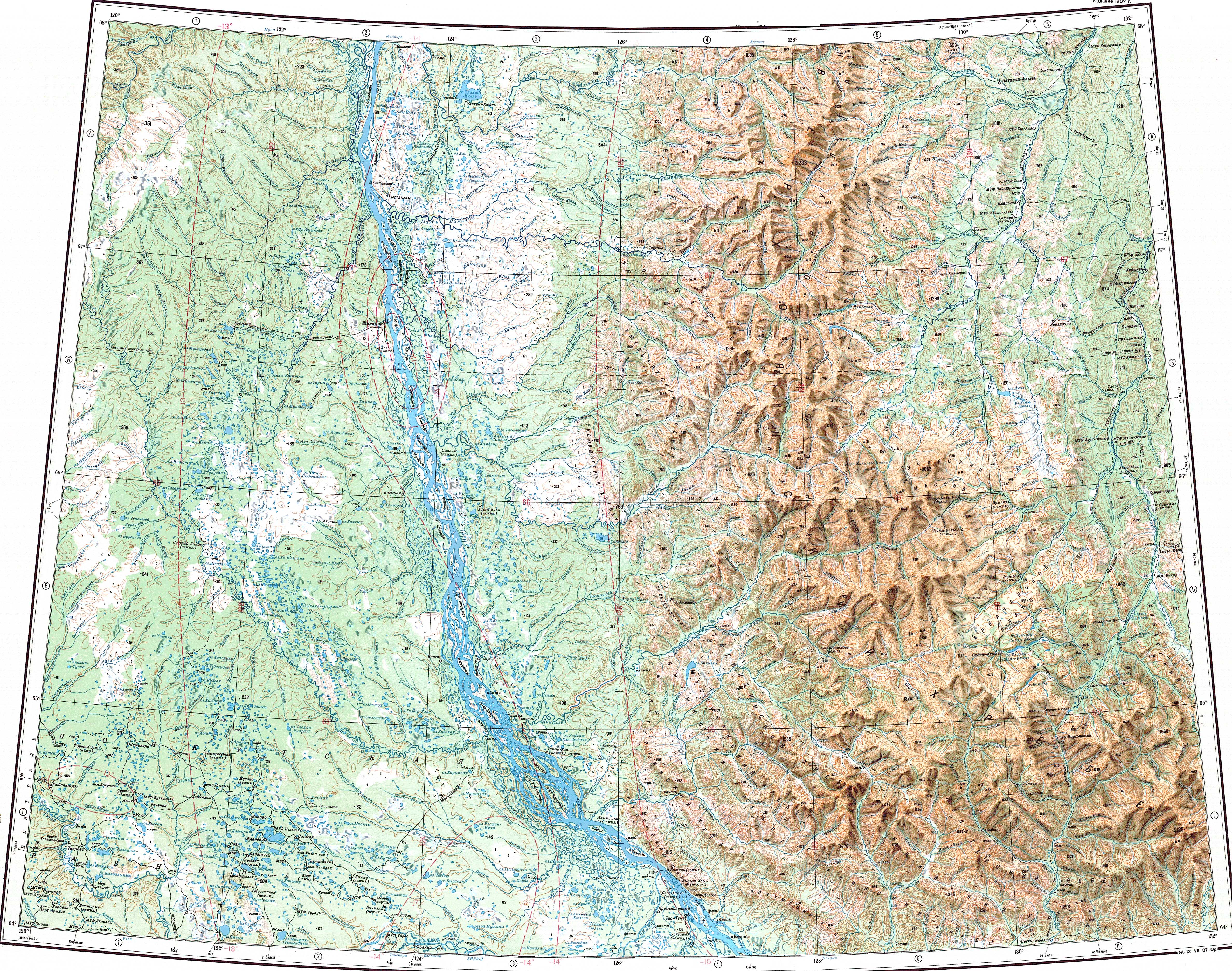
Batamay (Russian: Батамай) is a river in Kobyaysky District, Russia. It is a right tributary of the Lena, with a length of 35 km (22 mi) and a catchment area of 3,210 km2 (1,240 sq mi).[1]
Course
The river is formed at the southwestern end of the Verkhoyansk Range, below the slopes of the Munni and Sorkin ranges at the confluence of rivers Oyun-Taryn from the right and Seeminde from the left.[2][3] It flows roughly southwards across the Central Yakutian Lowland in a wide floodplain. Finally it flows into the Lena upstream from the Belyanka, near Batamay.[4] The water pool code is 18030700112117400000017.[5][6]
See also
References
- ^ "Государственный водный реестр: река Батамай". textual.ru. Retrieved 2020-11-25.
- ^ "Q-51_52 Chart (in Russian)". Retrieved 11 February 2022.
- ^ "P-51_52 Chart (in Russian)". Retrieved 11 February 2022.
- ^ "Государственный водный реестр: река Батамай". textual.ru. Retrieved 2020-11-25.
- ^ Ресурсы поверхностных вод СССР: Гидрологическая изученность. Т. 17. Ленско-Индигирский район. Вып. 4. Бассейн р. Лены от устья р. Алдан до устья р. Вилюй и бассейн р. Вилюй / под ред. А. С. Шароглазова. — Л.: Гидрометеоиздат, 1964. — 128 с.
- ^ Лист карты P-52-3,4 — ФГУП «ГОСГИСЦЕНТР»

Recent Comments